Ngunguru Suburbs & Region, Ngunguru Map & Postcodes in Ngunguru, Whangarei, Northland
Ngunguru Postcodes, Ngunguru ZipCodes, Ngunguru , Ngunguru Northland, Ngunguru Suburbs, Ngunguru Region, Ngunguru Map, Ngunguru Area
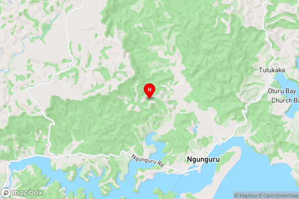
Ngunguru Region (Kaiatea Region)
Ngunguru Suburbs
Ngunguru is a suburb place type in Whangarei, Northland, NZ. It contains 0 suburbs or localities.Ngunguru Postcodes
Ngunguru Region Map
Ngunguru Introduction
Ngunguru is a small town in Northland, New Zealand, located on the eastern coast of the North Island. It is known for its beautiful beaches, lush forests, and stunning natural scenery. The town has a population of around 1,000 people and is a popular destination for tourists and outdoor enthusiasts. Ngunguru is also home to the Ngunguru Forest Park, which is a protected area that covers over 500 hectares of land and is home to a variety of native birds and plants. The town is surrounded by stunning coastal scenery, including the Bay of Islands and the Hokianga Harbour.Ngunguru Region
Ngunguru City
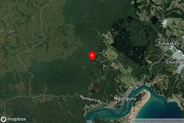
Ngunguru Satellite Map
Full Address
Ngunguru, Whangarei, NorthlandNgunguru Coordinates
-35.616589,174.48226 (Latitude / Longitude)Ngunguru Map in NZ
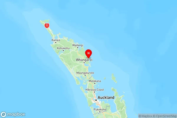
NZ Island
North IslandCountry
Ngunguru Area Map (Polygon)
Not available for nowName
NgunguruAdditional Name
KaiateaLocal Authority
Whangarei District
Ngunguru Suburbs (Sort by Population)
Ngunguru also known as Kaiatea. Ngunguru suburb has around
-1.2 square
kilometers.There are more than 1701 people (estimated)
live in Ngunguru, Whangarei, Northland, New Zealand.