Maungaraki Suburbs & Region, Maungaraki Map & Postcodes in Maungaraki, Lower Hutt City, Wellington
Maungaraki Postcodes, Maungaraki ZipCodes, Maungaraki , Maungaraki Wellington, Maungaraki Suburbs, Maungaraki Region, Maungaraki Map, Maungaraki Area
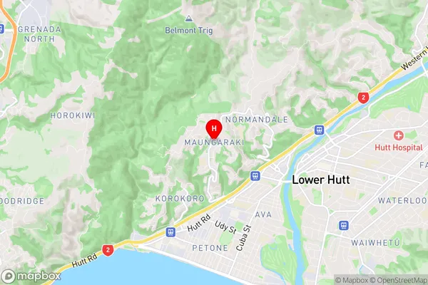
Maungaraki Region
Maungaraki Suburbs
Maungaraki is a suburb place type in Lower Hutt City, Wellington, NZ. It contains 0 suburbs or localities.Maungaraki Region Map
Maungaraki Introduction
Maungaraki is a suburb of Wellington, New Zealand, located on the southern coast of the North Island. It is known for its stunning coastal views, including the Maungaraki Boulders, a popular climbing destination. The suburb has a rich history and was once home to the Maungaraki tribe, who were the original inhabitants of the area. Today, Maungaraki is a popular residential area with a mix of modern apartments and homes. It is also home to several parks, including the Maungaraki Reserve, which offers a variety of recreational activities, including walking, cycling, and picnicking. The suburb is well-connected to Wellington's central business district by public transport, and it is only a short drive away from the airport.Maungaraki Region
Maungaraki City
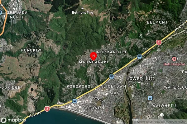
Maungaraki Satellite Map
Full Address
Maungaraki, Lower Hutt City, WellingtonMaungaraki Coordinates
-41.205834,174.880042 (Latitude / Longitude)Maungaraki Map in NZ
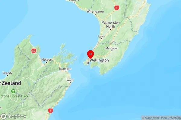
NZ Island
North IslandCountry
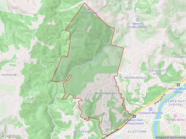
Maungaraki Area Map (Polygon)
Name
MaungarakiAdditional Name
Local Authority
Lower Hutt City
Maungaraki Suburbs (Sort by Population)
Maungaraki suburb has around
5.9 square
kilometers.There are more than 3906 people (estimated)
live in Maungaraki, Lower Hutt, Wellington, New Zealand.