Maungaraki Area, Maungaraki Postcode(5045) & Map in Maungaraki
Maungaraki Area, Maungaraki Postcode(5045) & Map in Maungaraki, Lower Hutt City, New Zealand
Maungaraki, Lower Hutt City, New Zealand
Maungaraki Area (estimated)
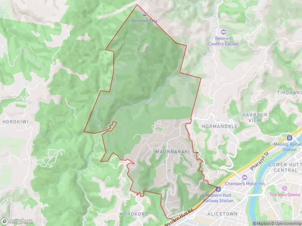
5.9 square kilometersMaungaraki Population (estimated)
3906 people live in Maungaraki, Lower Hutt, NZMaungaraki Suburb Area Map (Polygon)
Maungaraki Introduction
Maungaraki is a suburb of Lower Hutt, Wellington, New Zealand. It is located on the southern coast of the North Island, approximately 10 kilometers from Wellington's central business district. The suburb is known for its scenic beaches, including Maungaraki Beach and Ohiro Bay Beach. It also has a large population of Māori, with over 10% of its residents identifying as Māori. Maungaraki is home to several significant landmarks, including the Maungaraki Rock, a volcanic cone that provides a panoramic view of the city and the surrounding area.Region
Major City
Suburb Name
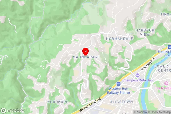
MaungarakiMaungaraki Area Map (Street)
Local Authority
Lower Hutt CityFull Address
Maungaraki, Lower Hutt City, New ZealandAddress Type
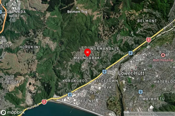
Suburb in City Lower HuttMaungaraki Suburb Map (Satellite)
Country
Main Region in AU
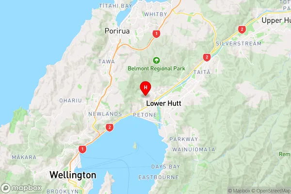
WellingtonMaungaraki Region Map
Coordinates
-41.2058337,174.8800422 (latitude/longitude)Distances
The distance from Maungaraki, Lower Hutt, Lower Hutt City to NZ Top 10 Cities