Korokoro Suburbs & Region, Korokoro Map & Postcodes in Korokoro, Lower Hutt City, Wellington
Korokoro Postcodes, Korokoro ZipCodes, Korokoro , Korokoro Wellington, Korokoro Suburbs, Korokoro Region, Korokoro Map, Korokoro Area
Korokoro Region
Korokoro Suburbs
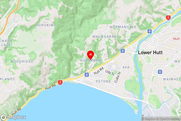
Korokoro is a suburb place type in Lower Hutt City, Wellington, NZ. It contains 0 suburbs or localities.Korokoro Region Map
Korokoro Introduction
Korokoro, Wellington, New Zealand, is a small community located in the southern suburbs of the city. It is known for its vibrant cultural heritage and strong sense of community. The area has a rich history, with many of its residents being of Māori descent. The community is home to a number of cultural institutions, including the Korokoro Marae, which is a meeting place for local Māori and a center for traditional arts and crafts. Korokoro also has a community center, a library, and a number of parks and recreational facilities. The area is well-connected to the rest of Wellington, with easy access to public transportation and a variety of shopping and dining options.Korokoro Region
Korokoro City
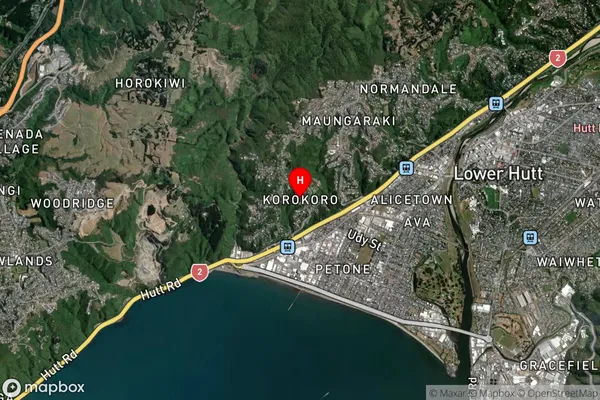
Korokoro Satellite Map
Full Address
Korokoro, Lower Hutt City, WellingtonKorokoro Coordinates
-41.216015,174.871738 (Latitude / Longitude)Korokoro Map in NZ
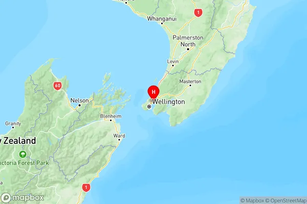
NZ Island
North IslandCountry
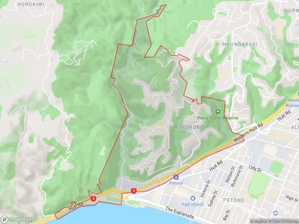
Korokoro Area Map (Polygon)
Name
KorokoroAdditional Name
Local Authority
Lower Hutt City
Korokoro Suburbs (Sort by Population)
Korokoro suburb has around
3.0 square
kilometers.There are more than 1605 people (estimated)
live in Korokoro, Lower Hutt, Wellington, New Zealand.