Korokoro Area, Korokoro Postcode(5012) & Map in Korokoro
Korokoro Area, Korokoro Postcode(5012) & Map in Korokoro, Lower Hutt City, New Zealand
Korokoro, Lower Hutt City, New Zealand
Korokoro Area (estimated)
3.0 square kilometersKorokoro Population (estimated)
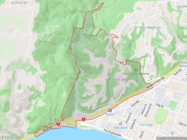
1605 people live in Korokoro, Lower Hutt, NZKorokoro Suburb Area Map (Polygon)
Korokoro Introduction
Korokoro is a small suburb in Lower Hutt, Wellington, New Zealand. It is known for its peaceful atmosphere, picturesque parks, and vibrant community. The area has a strong sense of community spirit and is home to a variety of cultural and recreational facilities, including a library, a community center, and a sports complex. Korokoro is well-connected to the rest of the city, with easy access to public transportation and a short drive to the central business district.Region
Major City
Suburb Name
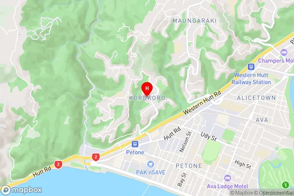
KorokoroKorokoro Area Map (Street)
Local Authority
Lower Hutt CityFull Address
Korokoro, Lower Hutt City, New ZealandAddress Type
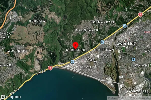
Suburb in City Lower HuttKorokoro Suburb Map (Satellite)
Country
Main Region in AU
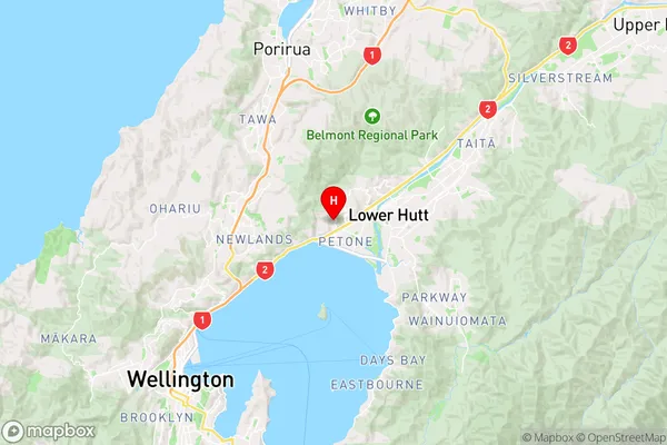
WellingtonKorokoro Region Map
Coordinates
-41.2160153,174.8717384 (latitude/longitude)Distances
The distance from Korokoro, Lower Hutt, Lower Hutt City to NZ Top 10 Cities