Haywards Suburbs & Region, Haywards Map & Postcodes in Haywards, Lower Hutt City, Wellington
Haywards Postcodes, Haywards ZipCodes, Haywards , Haywards Wellington, Haywards Suburbs, Haywards Region, Haywards Map, Haywards Area
Haywards Region
Haywards Suburbs
Haywards is a suburb place type in Lower Hutt City, Wellington, NZ. It contains 0 suburbs or localities.Haywards Postcodes
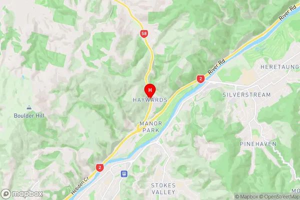
Haywards Region Map
Haywards Introduction
Haywards is a suburb of Wellington, New Zealand, located in the western part of the city. It is known for its peaceful atmosphere, well-maintained homes, and convenient location. The suburb has a variety of shops, restaurants, and recreational facilities, including a golf course and a swimming pool. Haywards is also home to a number of important historical sites, including the Haywards Hospital and the Old Government Buildings. The area is well-connected to other parts of Wellington via public transportation, and it is within easy driving distance of the city's central business district.Haywards Region
Haywards City
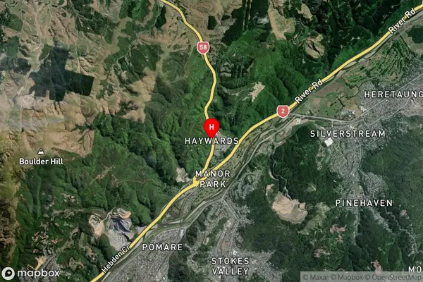
Haywards Satellite Map
Full Address
Haywards, Lower Hutt City, WellingtonHaywards Coordinates
-41.150305,174.978646 (Latitude / Longitude)Haywards Map in NZ
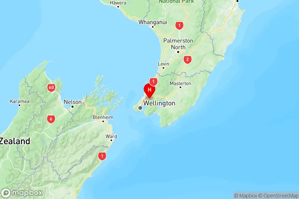
NZ Island
North IslandCountry
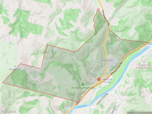
Haywards Area Map (Polygon)
Name
HaywardsAdditional Name
Local Authority
Lower Hutt City
Haywards Suburbs (Sort by Population)
Haywards suburb has around
8.6 square
kilometers.There are more than 90 people (estimated)
live in Haywards, Lower Hutt, Wellington, New Zealand.