Haywards Area, Haywards Postcode(5019) & Map in Haywards
Haywards Area, Haywards Postcode(5019) & Map in Haywards, Lower Hutt City, New Zealand
Haywards, Lower Hutt City, New Zealand
Haywards Area (estimated)
8.6 square kilometersHaywards Population (estimated)
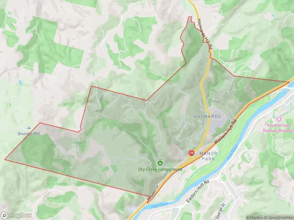
90 people live in Haywards, Lower Hutt, NZHaywards Suburb Area Map (Polygon)
Haywards Introduction
Haywards is a suburb in Lower Hutt, Wellington, New Zealand. It is located on the southern side of the Hutt River and is known for its large residential areas, shopping centers, and recreational facilities. The suburb has a population of around 20,000 people and is home to several popular schools and universities, including the University of Wellington and Wellington College of Education. Haywards is also home to a number of historic buildings, including the Haywards Theatre and the Haywards Park Cemetery.Region
Major City
Suburb Name
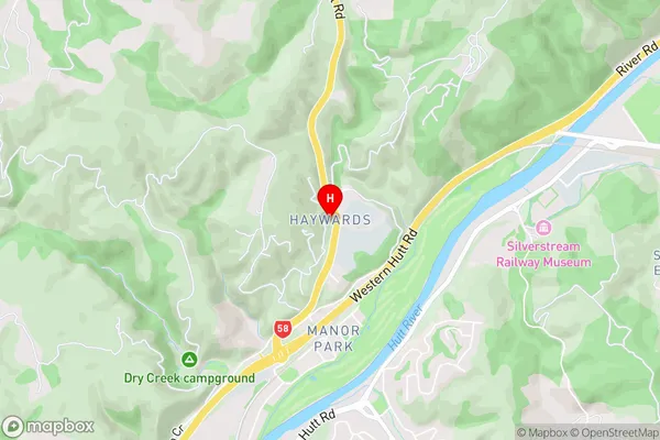
HaywardsHaywards Area Map (Street)
Local Authority
Lower Hutt CityFull Address
Haywards, Lower Hutt City, New ZealandAddress Type
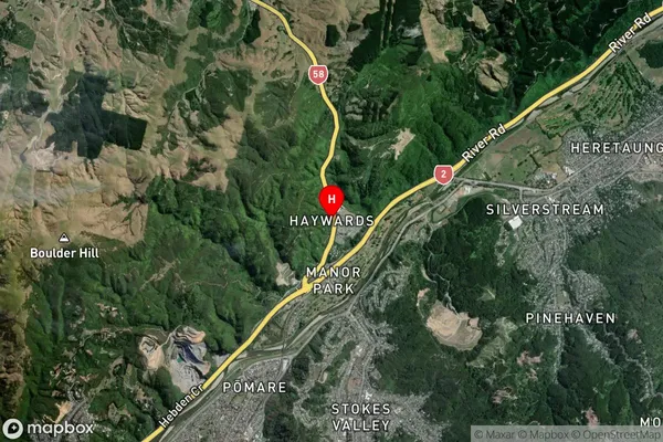
Suburb in City Lower HuttHaywards Suburb Map (Satellite)
Country
Main Region in AU
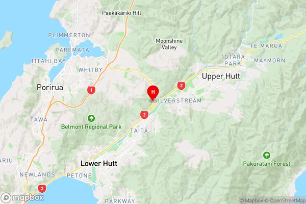
WellingtonHaywards Region Map
Coordinates
-41.1503049,174.9786457 (latitude/longitude)Distances
The distance from Haywards, Lower Hutt, Lower Hutt City to NZ Top 10 Cities