Gracefield Suburbs & Region, Gracefield Map & Postcodes in Gracefield, Lower Hutt City, Wellington
Gracefield Postcodes, Gracefield ZipCodes, Gracefield , Gracefield Wellington, Gracefield Suburbs, Gracefield Region, Gracefield Map, Gracefield Area
Gracefield Region
Gracefield Suburbs
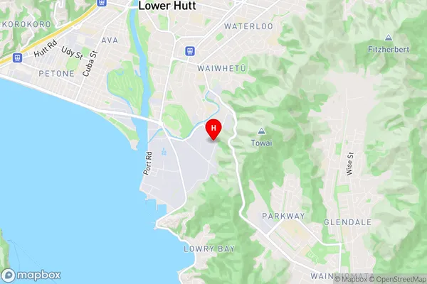
Gracefield is a suburb place type in Lower Hutt City, Wellington, NZ. It contains 0 suburbs or localities.Gracefield Region Map
Gracefield Introduction
Gracefield is a suburb of Wellington, New Zealand, located in the eastern part of the city. It is known for its historic homes, peaceful atmosphere, and proximity to the Wellington Botanic Garden. The suburb was named after Gracefield House, which was built in the 1850s and was once the home of the wealthy Hobson family. Today, Gracefield is a popular residential area with a mix of older homes and new developments. It is surrounded by parks and recreational facilities, including the Gracefield Sports Club and the Gracefield Park Golf Course. The suburb is also home to a number of cultural institutions, including the Gracefield Arts Centre and the Gracefield Theatre.Gracefield Region
Gracefield City
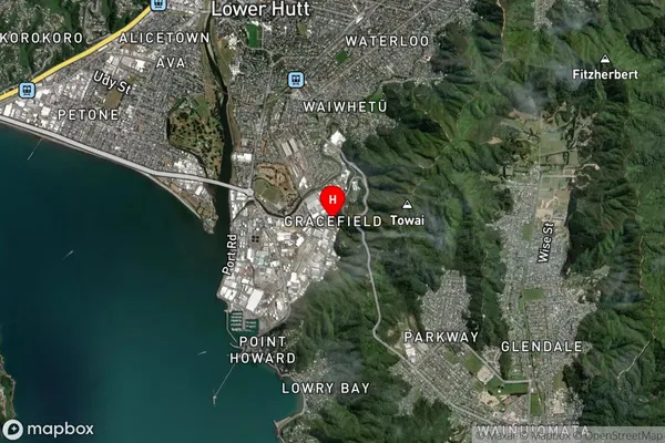
Gracefield Satellite Map
Full Address
Gracefield, Lower Hutt City, WellingtonGracefield Coordinates
-41.237392,174.916946 (Latitude / Longitude)Gracefield Map in NZ
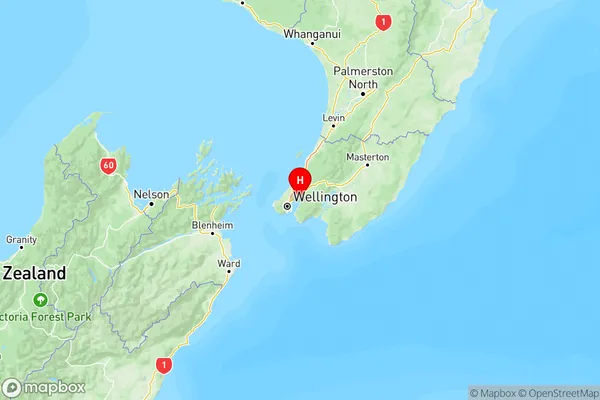
NZ Island
North IslandCountry
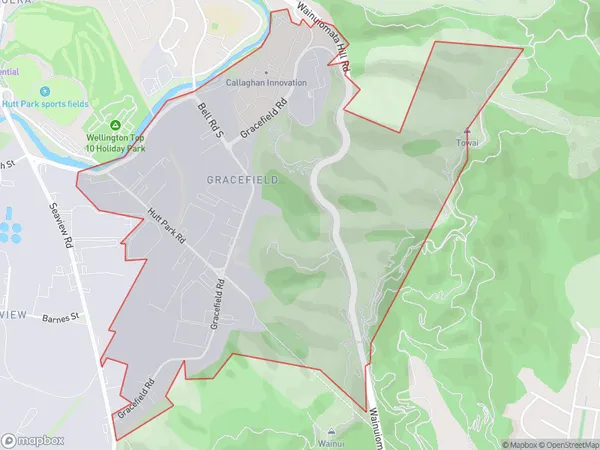
Gracefield Area Map (Polygon)
Name
GracefieldAdditional Name
Local Authority
Lower Hutt City
Gracefield Suburbs (Sort by Population)
Gracefield suburb has around
2.2 square
kilometers.There are more than 70 people (estimated)
live in Gracefield, Lower Hutt, Wellington, New Zealand.