Gracefield Area, Gracefield Postcode(5010) & Map in Gracefield
Gracefield Area, Gracefield Postcode(5010) & Map in Gracefield, Lower Hutt City, New Zealand
Gracefield, Lower Hutt City, New Zealand
Gracefield Area (estimated)
2.2 square kilometersGracefield Population (estimated)
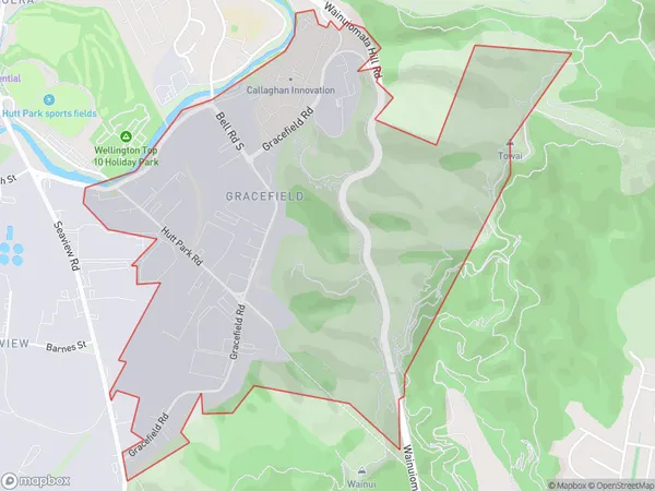
70 people live in Gracefield, Lower Hutt, NZGracefield Suburb Area Map (Polygon)
Gracefield Introduction
Gracefield is a suburb of Lower Hutt, Wellington, New Zealand. It is located in the eastern part of the city and is known for its large population of Pacific Islanders. The suburb has a variety of shops, restaurants, and recreational facilities, including a golf course and a swimming pool. Gracefield is also home to a number of important historical sites, including the Gracefield War Memorial and the St. Patrick's Cathedral.Region
Major City
Suburb Name
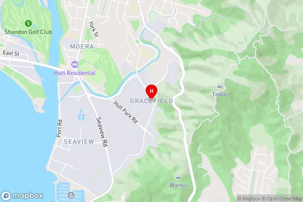
GracefieldGracefield Area Map (Street)
Local Authority
Lower Hutt CityFull Address
Gracefield, Lower Hutt City, New ZealandAddress Type
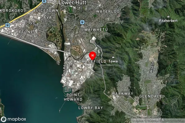
Suburb in City Lower HuttGracefield Suburb Map (Satellite)
Country
Main Region in AU
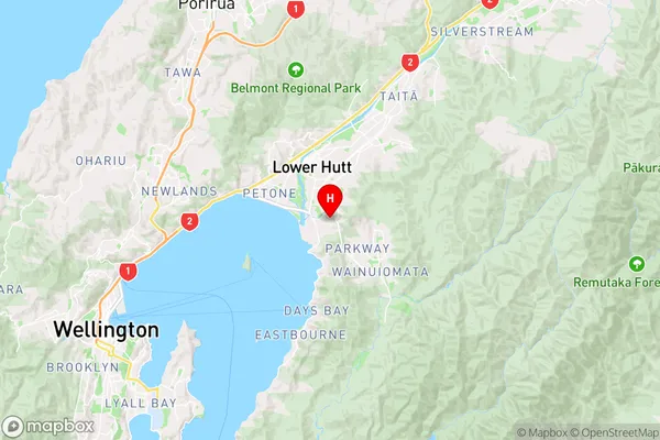
WellingtonGracefield Region Map
Coordinates
-41.2373917,174.9169459 (latitude/longitude)Distances
The distance from Gracefield, Lower Hutt, Lower Hutt City to NZ Top 10 Cities