Epuni Suburbs & Region, Epuni Map & Postcodes in Epuni, Lower Hutt City, Wellington
Epuni Postcodes, Epuni ZipCodes, Epuni , Epuni Wellington, Epuni Suburbs, Epuni Region, Epuni Map, Epuni Area
Epuni Region (Lower Hutt Central Region)
Epuni Suburbs
Epuni is a suburb place type in Lower Hutt City, Wellington, NZ. It contains 0 suburbs or localities.Epuni Postcodes
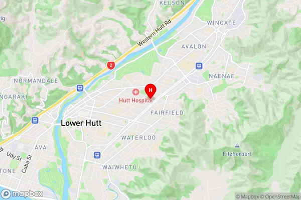
Epuni Region Map
Epuni Introduction
Wellington, New Zealand's capital city, is home to 'Epuni', a suburb on the city's southern coast. It is well-known for its vibrant arts scene, with numerous galleries, museums, and theaters. The suburb also has a beautiful beach, popular with locals and tourists alike, and is home to the popular Te Papa Museum. 'Epuni' is a diverse and multicultural suburb, with a mix of residential areas, cafes, and shops. It is also home to a large immigrant population, contributing to its rich cultural heritage.Epuni Region
Epuni City
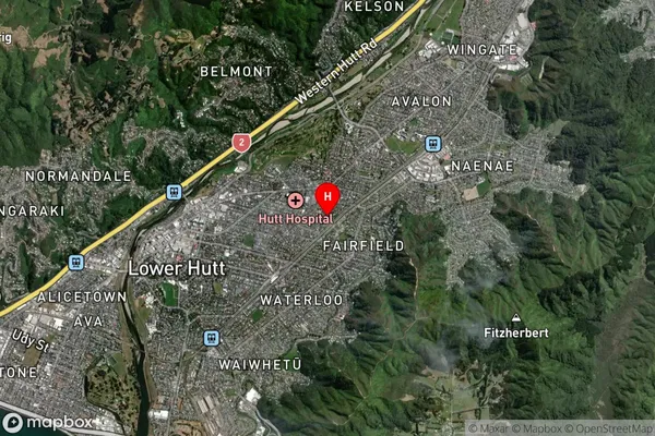
Epuni Satellite Map
Full Address
Epuni, Lower Hutt City, WellingtonEpuni Coordinates
-41.206637,174.929507 (Latitude / Longitude)Epuni Map in NZ
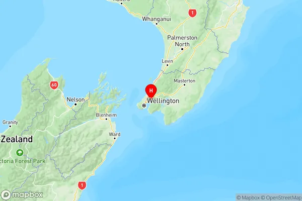
NZ Island
North IslandCountry
Epuni Area Map (Polygon)

Name
EpuniAdditional Name
Lower Hutt CentralLocal Authority
Lower Hutt City
Epuni Suburbs (Sort by Population)
Epuni also known as Lower Hutt Central. Epuni suburb has around
1.0 square
kilometers.There are more than 2827 people (estimated)
live in Epuni, Lower Hutt, Wellington, New Zealand.