Epuni Area, Epuni Postcode(5011) & Map in Epuni
Epuni Area, Epuni Postcode(5011) & Map in Epuni, Lower Hutt City, New Zealand
Epuni, Lower Hutt City, New Zealand
Epuni Postcodes
Epuni Area (estimated)
1.0 square kilometersEpuni Population (estimated)
2827 people live in Epuni, Lower Hutt, NZEpuni Suburb Area Map (Polygon)

Epuni Introduction
Epuni is a suburb of Lower Hutt, Wellington, New Zealand. It is located on the southern side of the Hutt River and is known for its historic buildings, parks, and vibrant community. The area was developed in the 1850s and 1860s as a residential area for workers from the nearby factories and mills. Today, Epuni is a popular suburb with a mix of residential, commercial, and industrial areas. It is home to a variety of shops, cafes, and restaurants, as well as the Epuni Market, a popular weekend market that attracts locals and visitors alike.Region
Major City
Suburb Name
EpuniOther Name(s)
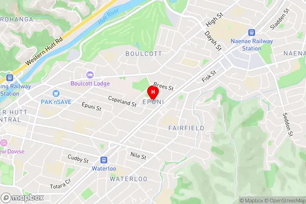
Lower Hutt CentralEpuni Area Map (Street)
Local Authority
Lower Hutt CityFull Address
Epuni, Lower Hutt City, New ZealandAddress Type
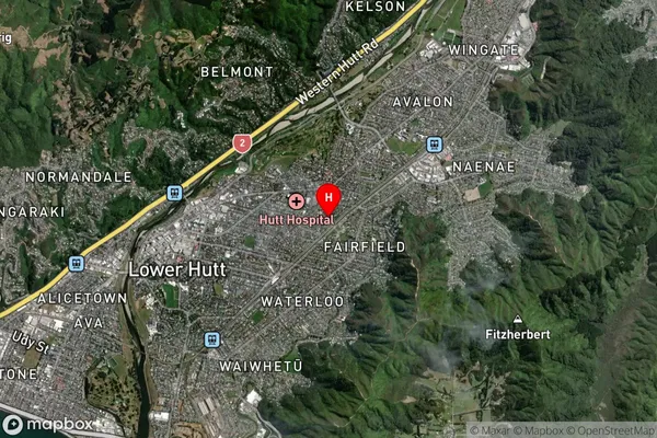
Suburb in City Lower HuttEpuni Suburb Map (Satellite)
Country
Main Region in AU
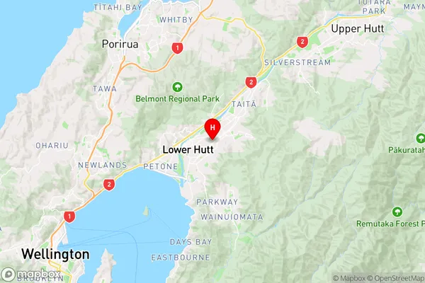
WellingtonEpuni Region Map
Coordinates
-41.206637,174.9295072 (latitude/longitude)Distances
The distance from Epuni, Lower Hutt, Lower Hutt City to NZ Top 10 Cities