Waikanae Suburbs & Region, Waikanae Map & Postcodes in Waikanae, Kapiti Coast, Wellington
Waikanae Postcodes, Waikanae ZipCodes, Waikanae , Waikanae Wellington, Waikanae Suburbs, Waikanae Region, Waikanae Map, Waikanae Area
Waikanae Region
Waikanae Suburbs
Waikanae is a city place type in Kapiti Coast, Wellington, NZ. It contains 4 suburbs or localities.Waikanae district
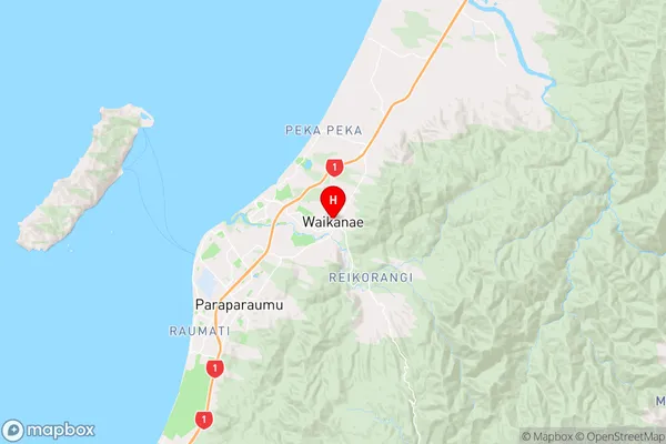
Kapiti CoastWaikanae Region Map
Waikanae Introduction
Waikanae is a coastal town in the Wellington Region of New Zealand, located 30 km north of Wellington City. It is known for its beautiful beaches, stunning coastal scenery, and vibrant community. The town has a population of around 50,000 people and is home to a number of popular attractions, including the Waikanae Beach, the Waikanae River, and the Waikanae Golf Club. Waikanae is also a popular destination for outdoor enthusiasts, with a number of hiking and cycling trails nearby. The town is well-serviced by public transport, with a regular bus service to Wellington City and a train station located within walking distance.Waikanae Region
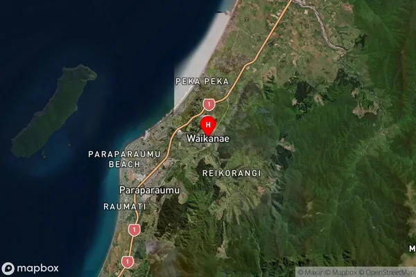
Waikanae Satellite Map
Full Address
Waikanae, Kapiti Coast, WellingtonWaikanae Coordinates
-40.875843,175.064304 (Latitude / Longitude)Waikanae Map in NZ
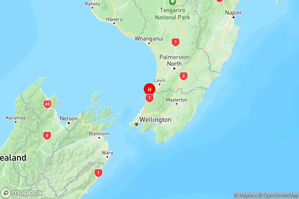
NZ Island
North IslandCountry
Waikanae Suburbs (Sort by Population)
Waikanae
Waikanae - 9718Waikanae Beach
Waikanae Beach - 3500Peka Peka
Peka Peka - 685Reikorangi
Reikorangi - 408
Waikanae Suburbs (Sort in alphabetical)
Reikorangi