Waikanae Area, Waikanae Postcode(5036) & Map in Waikanae
Waikanae Area, Waikanae Postcode(5036) & Map in Waikanae, Kapiti Coast District, New Zealand
Waikanae, Kapiti Coast District, New Zealand
Waikanae Area (estimated)
32.0 square kilometersWaikanae Population (estimated)
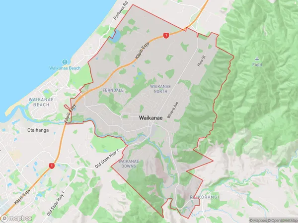
9718 people live in Waikanae, Wellington, NZWaikanae Suburb Area Map (Polygon)
Waikanae Introduction
Waikanae is a coastal town in the Wellington region of New Zealand, known for its beautiful beaches, stunning scenery, and vibrant community. It is located about 30 kilometers from Wellington City and is a popular destination for tourists and locals alike. The town has a rich history, with evidence of early Māori settlement dating back to over 1,000 years ago. It is also home to a number of historic buildings, including the Waikanae Beach Hotel, which was built in 1887.Region
Major City
Suburb Name
WaikanaeOther Name(s)
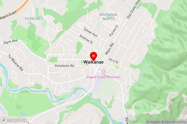
Waikanae ParkWaikanae Area Map (Street)
Local Authority
Kapiti Coast DistrictFull Address
Waikanae, Kapiti Coast District, New ZealandAddress Type
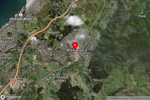
Suburb in Town WaikanaeWaikanae Suburb Map (Satellite)
Country
Main Region in AU
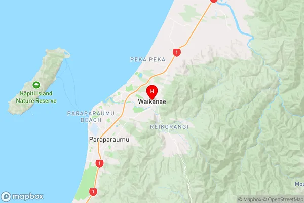
WellingtonWaikanae Region Map
Coordinates
-40.8758432,175.0643045 (latitude/longitude)Distances
The distance from Waikanae, Waikanae, Kapiti Coast District to NZ Top 10 Cities