Te Horo Suburbs & Region, Te Horo Map & Postcodes in Te Horo, Kapiti Coast, Wellington
Te Horo Postcodes, Te Horo ZipCodes, Te Horo , Te Horo Wellington, Te Horo Suburbs, Te Horo Region, Te Horo Map, Te Horo Area
Te Horo Region
Te Horo Suburbs
Te Horo is a suburb place type in Kapiti Coast, Wellington, NZ. It contains 0 suburbs or localities.Te Horo Postcodes
Te Horo district
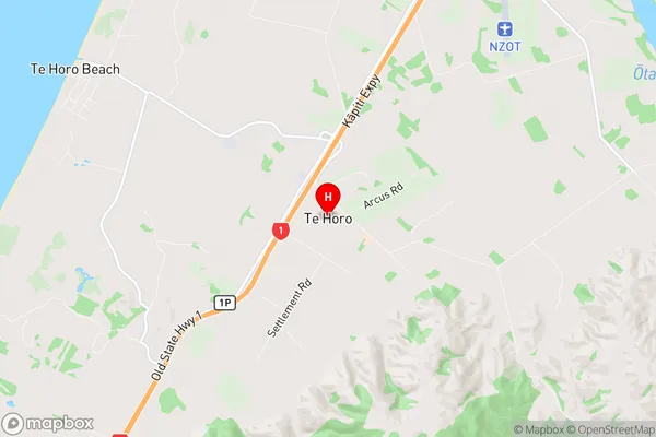
Kapiti CoastTe Horo Region Map
Te Horo Introduction
Te Horo is a small coastal village located in the southern region of Wellington, New Zealand. It is known for its stunning natural beauty, including rugged cliffs, sandy beaches, and crystal-clear waters. The village has a population of around 100 people and is surrounded by native bush and farmland. Te Horo is a popular destination for outdoor enthusiasts, with many walking and hiking trails nearby. The village also has a small community hall and a general store that serves as a hub for locals and visitors alike.Te Horo Region
Te Horo City
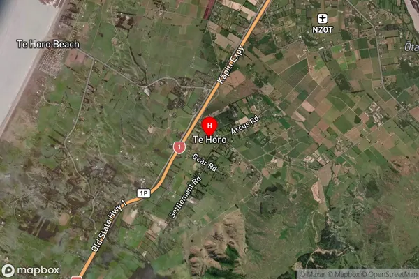
Te Horo Satellite Map
Full Address
Te Horo, Kapiti Coast, WellingtonTe Horo Coordinates
-40.808433,175.123335 (Latitude / Longitude)Te Horo Map in NZ
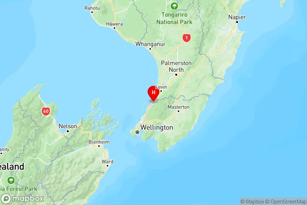
NZ Island
North IslandCountry
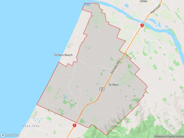
Te Horo Area Map (Polygon)
Name
Te HoroAdditional Name
Local Authority
Kapiti Coast District
Te Horo Suburbs (Sort by Population)
Te Horo suburb has around
38.5 square
kilometers.There are more than 1079 people (estimated)
live in Te Horo, Otaki, Wellington, New Zealand.