Te Horo Area, Te Horo Postcode(5544) & Map in Te Horo
Te Horo Area, Te Horo Postcode(5544) & Map in Te Horo, Kapiti Coast District,
Te Horo, Kapiti Coast District,
Te Horo Postcodes
Te Horo Area (estimated)
38.5 square kilometersTe Horo Population (estimated)
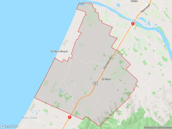
1079 people live in Te Horo, Otaki, NZTe Horo Suburb Area Map (Polygon)
Te Horo Introduction
Te Horo is a small coastal village located in Otaki, Wellington, New Zealand. It is known for its stunning beach, rugged coastline, and peaceful atmosphere. The village has a population of around 500 people and is surrounded by native bush and farmland. Te Horo is a popular destination for outdoor enthusiasts, with many walking and hiking tracks nearby. The village also has a community hall, a small supermarket, and a few cafes and restaurants.Region
Major City
Suburb Name
Te HoroTe Horo Area Map (Street)
Local Authority
Kapiti Coast DistrictFull Address
Te Horo, Kapiti Coast District,Address Type
Locality in Town OtakiTe Horo Suburb Map (Satellite)
Country
Main Region in AU
WellingtonTe Horo Region Map
Coordinates
0,0 (latitude/longitude)Distances
The distance from Te Horo, Otaki, Kapiti Coast District to NZ Top 10 Cities