Otaki Beach Suburbs & Region, Otaki Beach Map & Postcodes in Otaki Beach, Kapiti Coast, Wellington
Otaki Beach Postcodes, Otaki Beach ZipCodes, Otaki Beach , Otaki Beach Wellington, Otaki Beach Suburbs, Otaki Beach Region, Otaki Beach Map, Otaki Beach Area
Otaki Beach Region
Otaki Beach Suburbs
Otaki Beach is a suburb place type in Kapiti Coast, Wellington, NZ. It contains 0 suburbs or localities.Otaki Beach Postcodes
Otaki Beach district
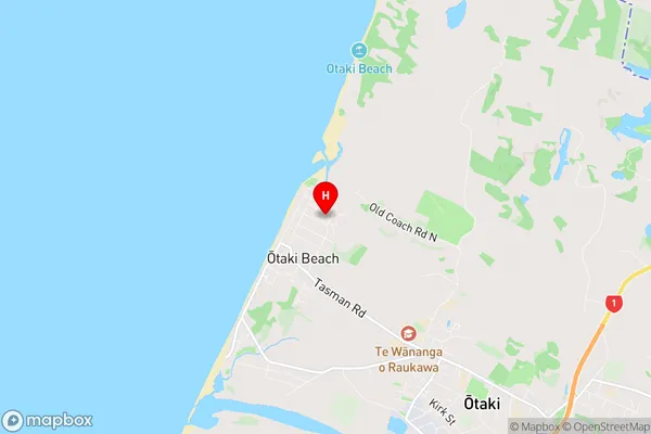
Kapiti CoastOtaki Beach Region Map
Otaki Beach Introduction
Otaki Beach is a popular destination for beachgoers in Wellington, New Zealand. It is located on the southern coast of the North Island and is known for its wide sandy beach, stunning coastal views, and peaceful atmosphere. The beach is a popular spot for swimming, sunbathing, and surfing, and there are also several walking and cycling trails nearby. The beach is surrounded by a range of cafes, restaurants, and hotels, making it a convenient place to stay and explore the surrounding area.Otaki Beach Region
Otaki Beach City
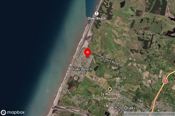
Otaki Beach Satellite Map
Full Address
Otaki Beach, Kapiti Coast, WellingtonOtaki Beach Coordinates
-40.736148,175.122263 (Latitude / Longitude)Otaki Beach Map in NZ
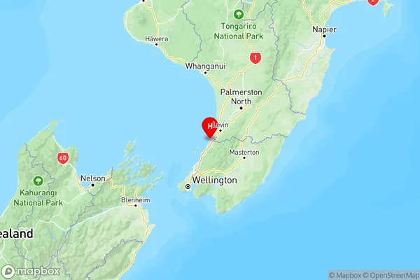
NZ Island
North IslandCountry
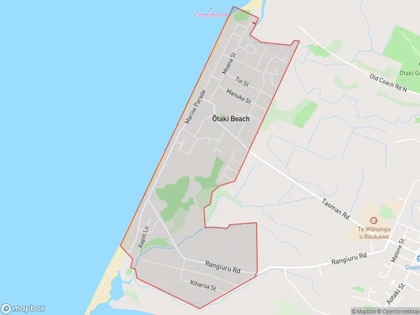
Otaki Beach Area Map (Polygon)
Name
Otaki BeachAdditional Name
Local Authority
Kapiti Coast District
Otaki Beach Suburbs (Sort by Population)
Otaki Beach suburb has around
2.8 square
kilometers.There are more than 2053 people (estimated)
live in Otaki Beach, Otaki, Wellington, New Zealand.