Otaki Beach Area, Otaki Beach Postcode(5512) & Map in Otaki Beach
Otaki Beach Area, Otaki Beach Postcode(5512) & Map in Otaki Beach, Kapiti Coast District, New Zealand
Otaki Beach, Kapiti Coast District, New Zealand
Otaki Beach Postcodes
Otaki Beach Area (estimated)
2.8 square kilometersOtaki Beach Population (estimated)
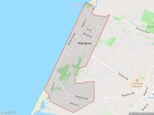
2053 people live in Otaki Beach, Wellington, NZOtaki Beach Suburb Area Map (Polygon)
Otaki Beach Introduction
Otaki Beach is a popular spot for swimming, surfing, and beach volleyball in Wellington, New Zealand. It is located on the southern coast of the North Island and is known for its calm waters and stunning views of the Kapiti Coast. The beach has a wide range of facilities, including showers, toilets, and a picnic area, and is a popular destination for families and outdoor enthusiasts.Region
Major City
Suburb Name
Otaki Beach (Maori Name: Ōtaki Beach)Otaki Beach Area Map (Street)

Local Authority
Kapiti Coast DistrictFull Address
Otaki Beach, Kapiti Coast District, New ZealandAddress Type
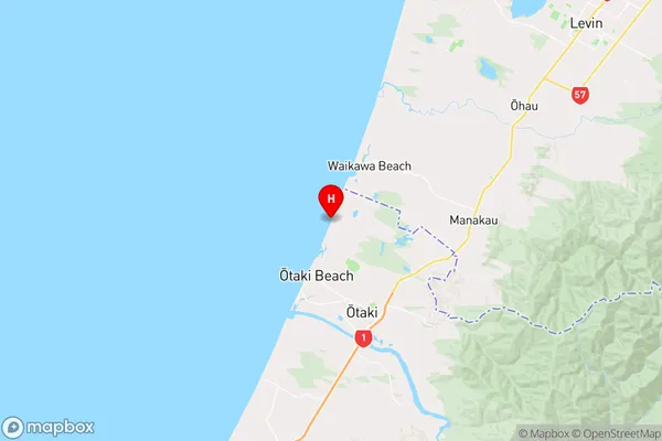
Suburb in Town OtakiOtaki Beach Suburb Map (Satellite)

Country
Main Region in AU
WellingtonOtaki Beach Region Map
Coordinates
-40.71511545,175.12772554859 (latitude/longitude)Distances
The distance from Otaki Beach, Otaki, Kapiti Coast District to NZ Top 10 Cities