Cape Palliser Suburbs & Region, Cape Palliser Map & Postcodes in Cape Palliser, South Wairarapa, Wairarapa
Cape Palliser Postcodes, Cape Palliser ZipCodes, Cape Palliser , Cape Palliser Wellington, Cape Palliser Suburbs, Cape Palliser Region, Cape Palliser Map, Cape Palliser Area
Cape Palliser Region (Ngawi Region)
Cape Palliser Suburbs
Cape Palliser is a suburb place type in South Wairarapa, Wairarapa, NZ. It contains 0 suburbs or localities.Cape Palliser district
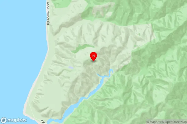
South WairarapaCape Palliser Region Map

Cape Palliser Introduction
Cape Palliser is located at the eastern tip of the Wellington region in New Zealand. It is well-known for its stunning coastal scenery, including rugged cliffs, sandy beaches, and turquoise waters. The cape is a popular destination for hiking, camping, and fishing, and it is home to a variety of wildlife, including seals, penguins, and dolphins. The cape also has a rich history, with evidence of early Māori settlements and European explorers.Cape Palliser Region
Cape Palliser City
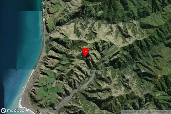
Cape Palliser Satellite Map

Full Address
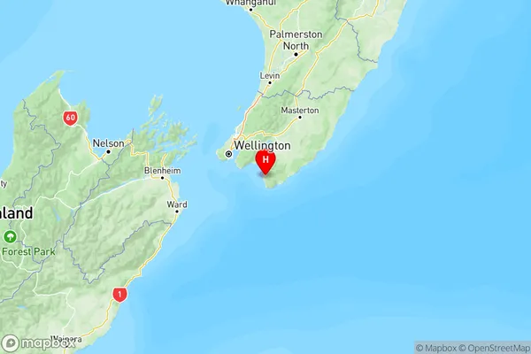
Cape Palliser, South Wairarapa, WairarapaCape Palliser Coordinates
-41.505086,175.233836 (Latitude / Longitude)Cape Palliser Map in NZ

NZ Island
North IslandCountry
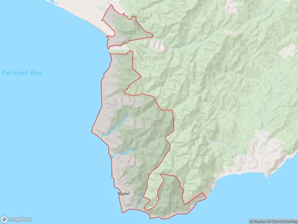
Cape Palliser Area Map (Polygon)

Name
Cape PalliserAdditional Name
NgawiLocal Authority
South Wairarapa District
Cape Palliser Suburbs (Sort by Population)
Cape Palliser also known as Ngawi. Cape Palliser suburb has around
108.8 square
kilometers.There are more than 129 people (estimated)
live in Cape Palliser, Martinborough Community, Wellington, New Zealand.