Cape Palliser Area, Cape Palliser Postcode & Map in Cape Palliser
Cape Palliser Area, Cape Palliser Postcode & Map in Cape Palliser, South Wairarapa District, New Zealand
Cape Palliser, South Wairarapa District, New Zealand
Cape Palliser Area (estimated)
108.8 square kilometersCape Palliser Population (estimated)
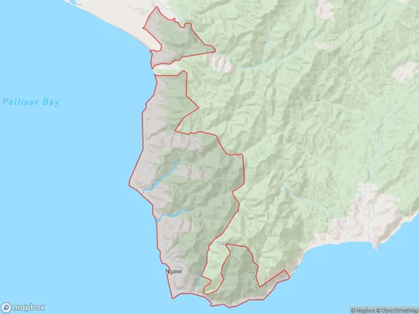
129 people live in Cape Palliser, Martinborough Community, NZCape Palliser Suburb Area Map (Polygon)

Cape Palliser Introduction
Cape Palliser is a cape located at the eastern tip of the Wellington Peninsula in New Zealand. It is known for its stunning coastal scenery, including rugged cliffs, sandy beaches, and turquoise waters. The cape is a popular destination for hiking, camping, and wildlife viewing, with several trails leading to its summit. The area is also home to a historic lighthouse and a small settlement.Region
Major City
Suburb Name
Cape PalliserOther Name(s)
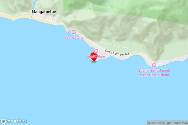
NgawiCape Palliser Area Map (Street)

Local Authority
South Wairarapa DistrictFull Address
Cape Palliser, South Wairarapa District, New ZealandAddress Type
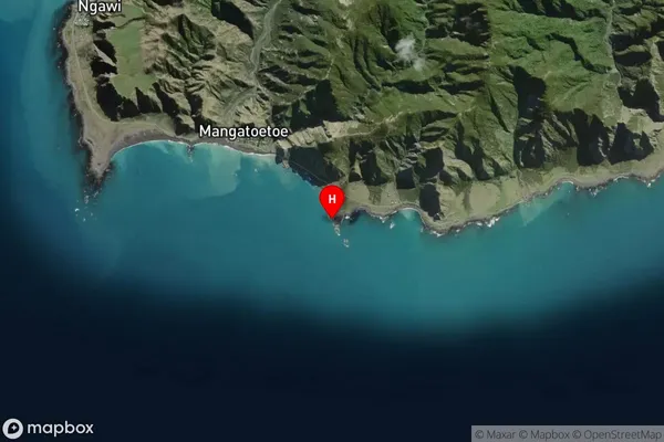
Locality in Major Locality PirinoaCape Palliser Suburb Map (Satellite)

Country
Main Region in AU
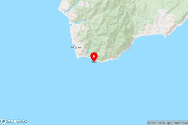
WellingtonCape Palliser Region Map

Coordinates
-41.6127164,175.2734151 (latitude/longitude)Distances
The distance from Cape Palliser, Pirinoa, South Wairarapa District to NZ Top 10 Cities