Whangaehu Valley Suburbs & Region, Whangaehu Valley Map & Postcodes in Whangaehu Valley, Masterton, Wairarapa
Whangaehu Valley Postcodes, Whangaehu Valley ZipCodes, Whangaehu Valley , Whangaehu Valley Wellington, Whangaehu Valley Suburbs, Whangaehu Valley Region, Whangaehu Valley Map, Whangaehu Valley Area
Whangaehu Valley Region (Dreyers Rock Region)
Whangaehu Valley Suburbs
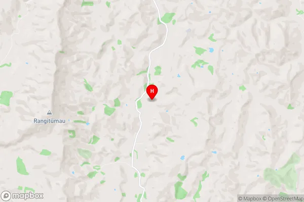
Whangaehu Valley is a suburb place type in Masterton, Wairarapa, NZ. It contains 0 suburbs or localities.Whangaehu Valley Region Map
Whangaehu Valley Introduction
Whangaehu Valley is a picturesque valley located in the Wellington region of New Zealand. It is known for its stunning natural scenery, including lush forests, waterfalls, and crystal-clear rivers. The valley is home to a variety of wildlife, including native birds, reptiles, and mammals. Visitors can enjoy hiking, mountain biking, and fishing in the area, or simply relax and take in the breathtaking views. The valley is also a popular filming location, with several movies and TV shows having been shot there over the years.Whangaehu Valley Region
Whangaehu Valley City
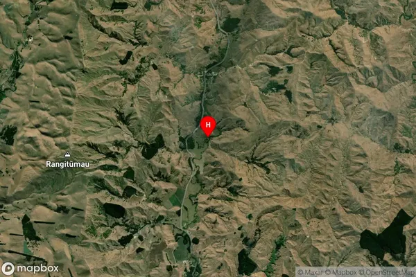
Whangaehu Valley Satellite Map
Full Address
Whangaehu Valley, Masterton, WairarapaWhangaehu Valley Coordinates
-40.84827,175.770956 (Latitude / Longitude)Whangaehu Valley Map in NZ
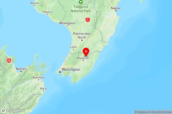
NZ Island
North IslandCountry
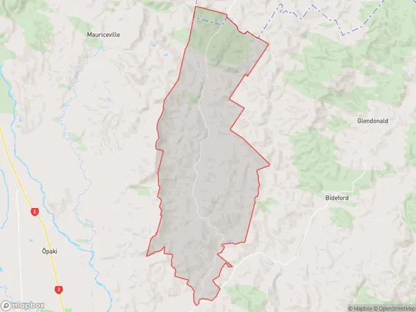
Whangaehu Valley Area Map (Polygon)
Name
Whangaehu ValleyAdditional Name
Dreyers RockLocal Authority
Masterton District
Whangaehu Valley Suburbs (Sort by Population)
Whangaehu Valley also known as Dreyers Rock. Whangaehu Valley suburb has around
92.3 square
kilometers.There are more than 94 people (estimated)
live in Whangaehu Valley, Masterton, Wellington, New Zealand.