Whangaehu Valley Area, Whangaehu Valley Postcode & Map in Whangaehu Valley
Whangaehu Valley Area, Whangaehu Valley Postcode & Map in Whangaehu Valley, Masterton District,
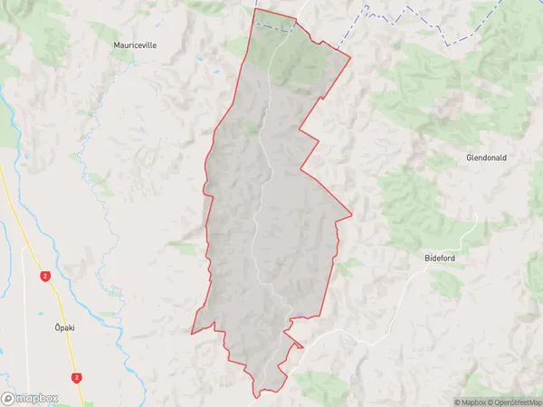
Whangaehu Valley, Masterton District,
Whangaehu Valley Area (estimated)
92.3 square kilometersWhangaehu Valley Population (estimated)
94 people live in Whangaehu Valley, Masterton, NZWhangaehu Valley Suburb Area Map (Polygon)
Region
Major City
Suburb Name
Whangaehu ValleyOther Name(s)
Dreyers RockWhangaehu Valley Area Map (Street)
Local Authority
Masterton DistrictFull Address
Whangaehu Valley, Masterton District,Address Type
Locality in Town MastertonWhangaehu Valley Suburb Map (Satellite)
Country
Main Region in AU
WellingtonWhangaehu Valley Region Map
Coordinates
0,0 (latitude/longitude)Distances
The distance from Whangaehu Valley, Masterton, Masterton District to NZ Top 10 Cities