Solway Suburbs & Region, Solway Map & Postcodes in Solway, Masterton, Wairarapa
Solway Postcodes, Solway ZipCodes, Solway , Solway Wellington, Solway Suburbs, Solway Region, Solway Map, Solway Area
Solway Region
Solway Suburbs
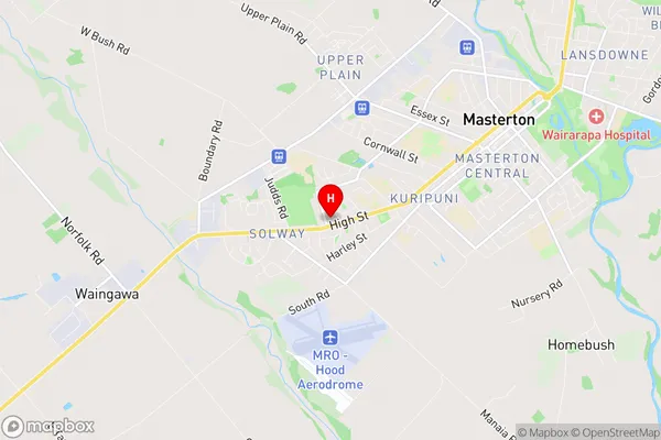
Solway is a suburb place type in Masterton, Wairarapa, NZ. It contains 0 suburbs or localities.Solway Region Map
Solway Introduction
Solway is a small rural community located in the Wellington region of New Zealand. It is situated on the southern shore of the Waikato River, approximately 30 kilometers south of Wellington City. The community has a population of around 1,000 people and is known for its scenic countryside, peaceful atmosphere, and historic buildings. Solway has a primary school, a post office, a convenience store, and a community hall. The area is popular with outdoor enthusiasts, with many walking and cycling trails nearby. The nearby Solway Farm Park is a popular destination for picnics and family outings.Solway Region
Solway City
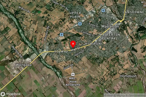
Solway Satellite Map
Full Address
Solway, Masterton, WairarapaSolway Coordinates
-40.960828,175.633513 (Latitude / Longitude)Solway Map in NZ
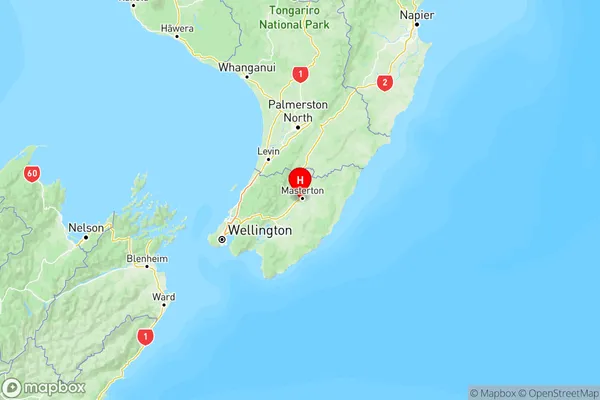
NZ Island
North IslandCountry
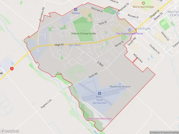
Solway Area Map (Polygon)
Name
SolwayAdditional Name
Local Authority
Masterton District
Solway Suburbs (Sort by Population)
Solway suburb has around
8.6 square
kilometers.There are more than 5065 people (estimated)
live in Solway, Masterton, Wellington, New Zealand.