Solway Area, Solway Postcode(5810) & Map in Solway
Solway Area, Solway Postcode(5810) & Map in Solway, Masterton District, New Zealand
Solway, Masterton District, New Zealand
Solway Area (estimated)
8.6 square kilometersSolway Population (estimated)
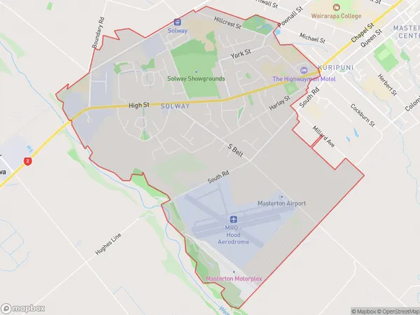
5065 people live in Solway, Wellington, NZSolway Suburb Area Map (Polygon)
Solway Introduction
Solway, Masterton, Wellington, New Zealand, is a small town located in the Wairarapa region, known for its beautiful countryside, historic buildings, and vibrant community. It is situated on the banks of the Solway River, approximately 100 kilometers northeast of Wellington, and is a popular destination for outdoor activities such as hiking, cycling, and fishing. The town has a population of around 5,000 people and is home to a variety of shops, restaurants, and cultural institutions, including the Solway Museum and Art Gallery.Region
Major City
Suburb Name
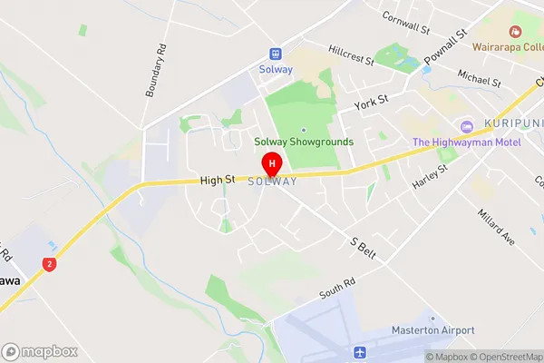
SolwaySolway Area Map (Street)
Local Authority
Masterton DistrictFull Address
Solway, Masterton District, New ZealandAddress Type
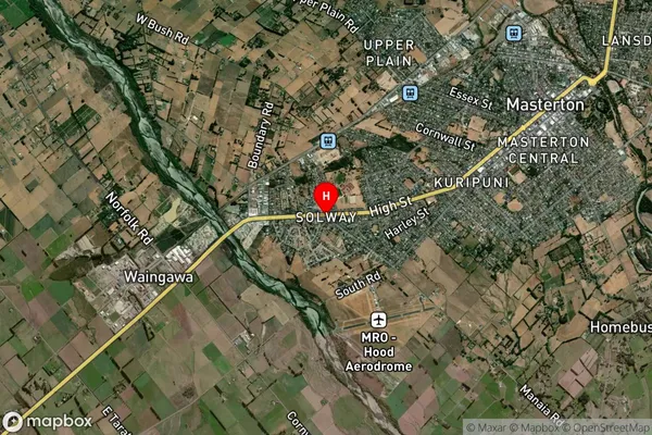
Suburb in Town MastertonSolway Suburb Map (Satellite)
Country
Main Region in AU
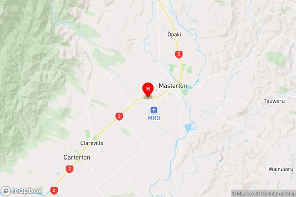
WellingtonSolway Region Map
Coordinates
-40.9624674,175.6251373 (latitude/longitude)Distances
The distance from Solway, Masterton, Masterton District to NZ Top 10 Cities