Mangapakeha Suburbs & Region, Mangapakeha Map & Postcodes in Mangapakeha, Masterton, Wairarapa
Mangapakeha Postcodes, Mangapakeha ZipCodes, Mangapakeha , Mangapakeha Wellington, Mangapakeha Suburbs, Mangapakeha Region, Mangapakeha Map, Mangapakeha Area
Mangapakeha Region (Langdale Region)
Mangapakeha Suburbs
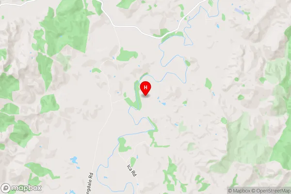
Mangapakeha is a suburb place type in Masterton, Wairarapa, NZ. It contains 0 suburbs or localities.Mangapakeha Region Map
Mangapakeha Introduction
Mangapakeha is a suburb of Wellington, New Zealand, located in the eastern part of the city. It is known for its vibrant community and cultural heritage, with a large population of Māori and Pacific Islanders. The suburb has a rich history, with many historic buildings and sites, including the Mangapakeha Cave, which is a sacred Māori site. The area is also home to a number of popular parks and recreational facilities, including the Wellington Zoo and the Botanic Garden. Mangapakeha is a popular place to live and work, with easy access to the city's central business district and a variety of shopping and dining options.Mangapakeha Region
Mangapakeha City
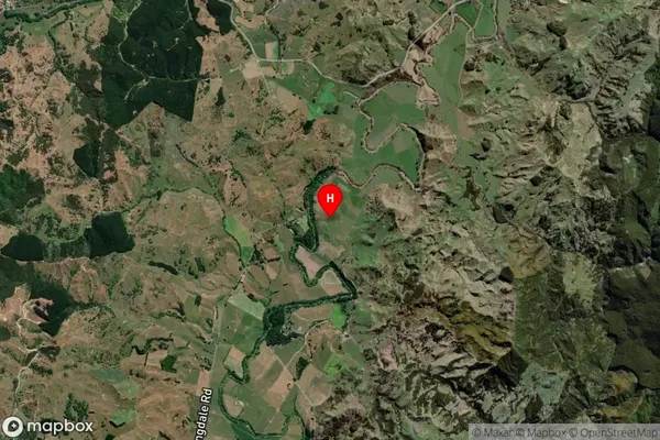
Mangapakeha Satellite Map
Full Address
Mangapakeha, Masterton, WairarapaMangapakeha Coordinates
-40.927289,176.059987 (Latitude / Longitude)Mangapakeha Map in NZ
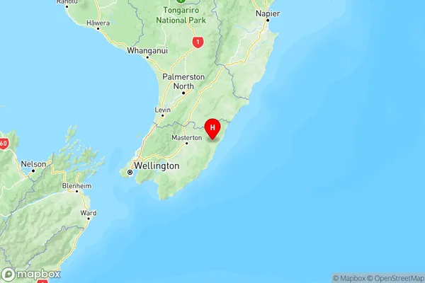
NZ Island
North IslandCountry
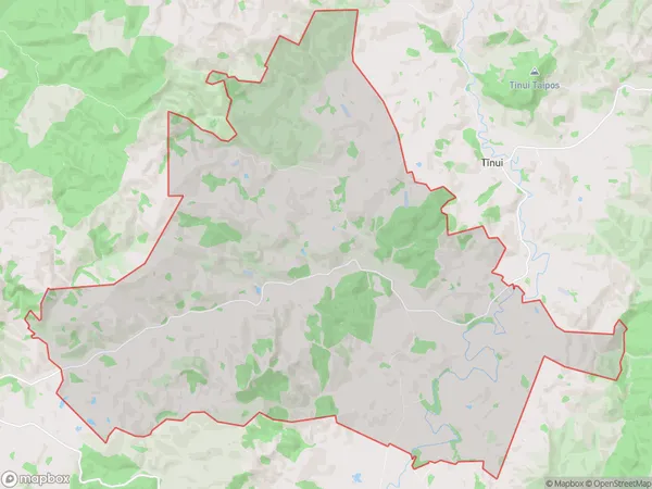
Mangapakeha Area Map (Polygon)
Name
MangapakehaAdditional Name
LangdaleLocal Authority
Masterton District
Mangapakeha Suburbs (Sort by Population)
Mangapakeha also known as Langdale. Mangapakeha suburb has around
90.7 square
kilometers.There are more than 72 people (estimated)
live in Mangapakeha, Masterton, Wellington, New Zealand.