Mangapakeha Area, Mangapakeha Postcode(5810) & Map in Mangapakeha
Mangapakeha Area, Mangapakeha Postcode(5810) & Map in Mangapakeha, Masterton District, New Zealand
Mangapakeha, Masterton District, New Zealand
Mangapakeha Postcodes
Mangapakeha Area (estimated)
90.7 square kilometersMangapakeha Population (estimated)
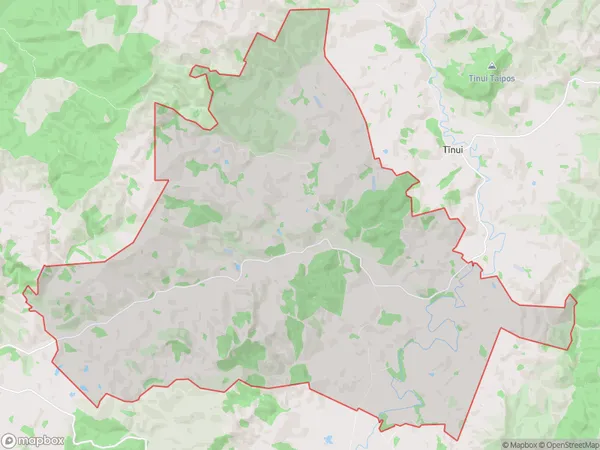
72 people live in Mangapakeha, Wellington, NZMangapakeha Suburb Area Map (Polygon)
Mangapakeha Introduction
Mangapakeha is a small rural community in the Masterton district of Wellington, New Zealand. It is known for its beautiful natural surroundings, including the Mangapakeha Stream and the surrounding hills. The community has a strong sense of community and a variety of recreational facilities, including a sports field and a community hall.Region
Major City
Suburb Name
MangapakehaOther Name(s)
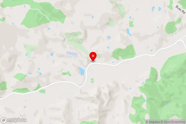
LangdaleMangapakeha Area Map (Street)
Local Authority
Masterton DistrictFull Address
Mangapakeha, Masterton District, New ZealandAddress Type
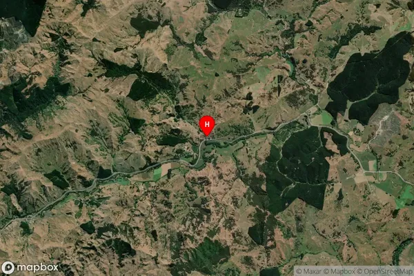
Locality in Town MastertonMangapakeha Suburb Map (Satellite)
Country
Main Region in AU
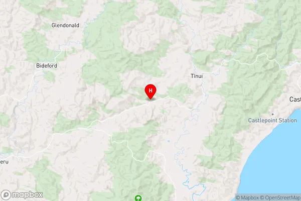
WellingtonMangapakeha Region Map
Coordinates
-40.9020956,176.0097098 (latitude/longitude)Distances
The distance from Mangapakeha, Masterton, Masterton District to NZ Top 10 Cities