Gladstone Suburbs & Region, Gladstone Map & Postcodes in Gladstone, Carterton, Wairarapa
Gladstone Postcodes, Gladstone ZipCodes, Gladstone , Gladstone Wellington, Gladstone Suburbs, Gladstone Region, Gladstone Map, Gladstone Area
Gladstone Region (Invercargill West Region)
Gladstone Suburbs
Gladstone is a suburb place type in Carterton, Wairarapa, NZ. It contains 4 suburbs or localities.Gladstone Postcodes
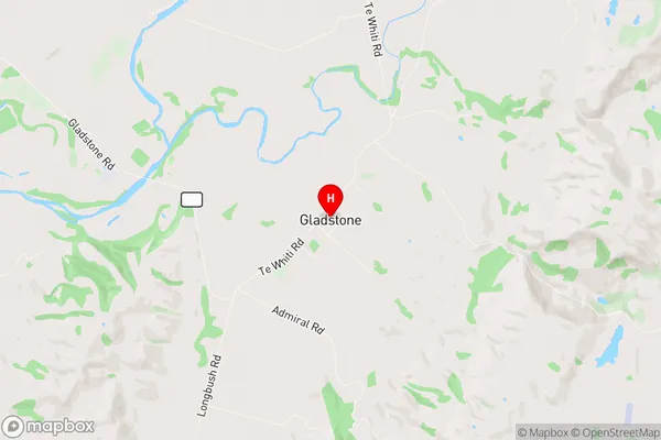
Gladstone Region Map
Gladstone Introduction
Gladstone is a suburb of Wellington, New Zealand, located in the eastern part of the city. It is known for its vibrant community, historic homes, and proximity to the city center. The suburb was named after British Prime Minister William Ewart Gladstone and was developed in the late 19th century. Gladstone has a variety of shops, restaurants, and recreational facilities, including the Gladstone Park Racecourse and the Gladstone Library. The suburb is also home to a number of important historical sites, including the Gladstone House and the Gladstone Theatre.Gladstone Region
Gladstone City
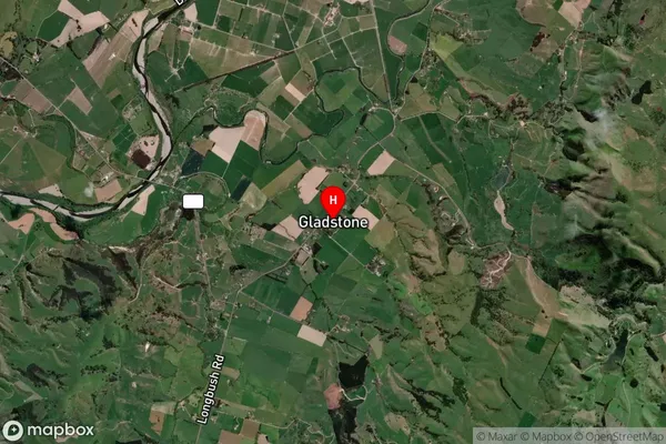
Gladstone Satellite Map
Full Address
Gladstone, Carterton, WairarapaGladstone Coordinates
-41.077336,175.658192 (Latitude / Longitude)Gladstone Map in NZ
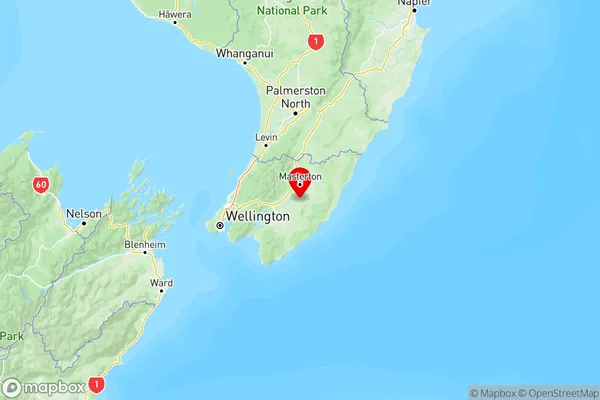
NZ Island
North IslandCountry
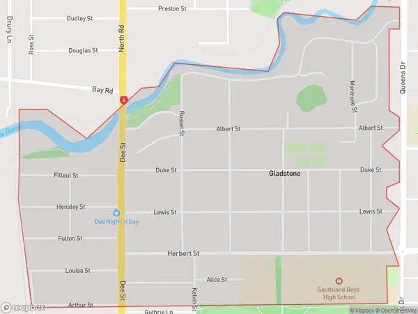
Gladstone Area Map (Polygon)
Name
GladstoneAdditional Name
Invercargill WestLocal Authority
Invercargill City
Gladstone Suburbs (Sort by Population)
Te Whiti
Te Whiti - 281Gladstone
Gladstone - 228Admiral Hill
Admiral Hill - 125Kourarau Hill
Kourarau Hill - 49