Whangaehu Suburbs & Region, Whangaehu Map & Postcodes in Whangaehu, Whanganui, Manawatu / Whanganui
Whangaehu Postcodes, Whangaehu ZipCodes, Whangaehu , Whangaehu Manawatu-Wanganui, Whangaehu Suburbs, Whangaehu Region, Whangaehu Map, Whangaehu Area
Whangaehu Region
Whangaehu Suburbs
Whangaehu is a suburb place type in Whanganui, Manawatu / Whanganui, NZ. It contains 0 suburbs or localities.Whangaehu district
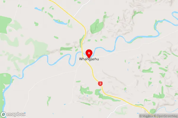
WhanganuiWhangaehu Region Map

Whangaehu Introduction
Whangaehu is a river in the Manawatu-Wanganui region of New Zealand. It is a tributary of the Wanganui River, and its mouth is located at the town of Whanganui. The river is approximately 120 kilometers long and flows through a wide valley, with a variety of landscapes including forests, farmland, and wetlands. The river is known for its brown trout fishing, and it is also home to a number of species of birds, including the kererū, which is native to New Zealand. The river has been the site of several hydroelectric power stations, which have contributed to the development of the region's economy.Whangaehu Region
Whangaehu City
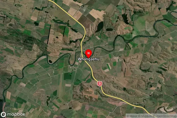
Whangaehu Satellite Map

Full Address
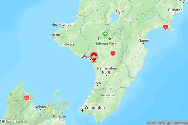
Whangaehu, Whanganui, Manawatu / WhanganuiWhangaehu Coordinates
-40.008092,175.170951 (Latitude / Longitude)Whangaehu Map in NZ

NZ Island
North IslandCountry
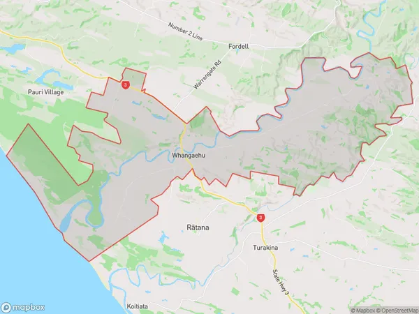
Whangaehu Area Map (Polygon)

Name
WhangaehuAdditional Name
Local Authority
Rangitikei District, Whanganui District
Whangaehu Suburbs (Sort by Population)
Whangaehu suburb has around
93.7 square
kilometers.There are more than 287 people (estimated)
live in Whangaehu, Wanganui, Manawatu-Wanganui, New Zealand.