Whangaehu Area, Whangaehu Postcode & Map in Whangaehu, Rangitikei District
Whangaehu Area, Whangaehu Postcode & Map in Whangaehu, Rangitikei District, Whanganui District, New Zealand
Whangaehu, Rangitikei District, Whanganui District, New Zealand
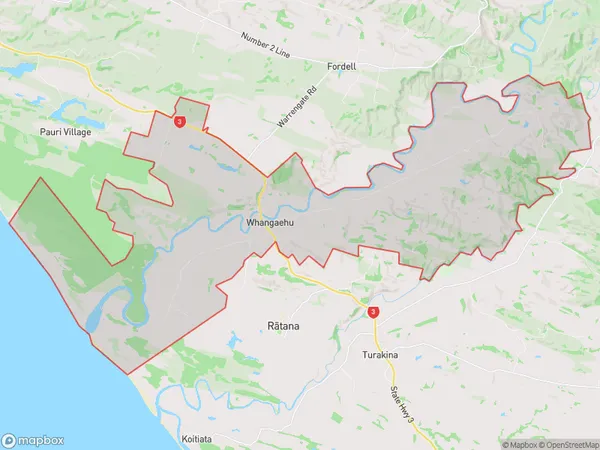
Whangaehu Area (estimated)
93.7 square kilometersWhangaehu Population (estimated)
287 people live in Whangaehu, Manawatu-Wanganui, NZWhangaehu Suburb Area Map (Polygon)

Whangaehu Introduction
Whangaehu is a river in the Manawatu-Wanganui region of New Zealand. It is the longest river in the region and flows into the Tasman Sea. The river is known for its scenic beauty and is a popular destination for fishing, kayaking, and other outdoor activities. The river's name means "the river of the greenstone," referring to the greenstone that was mined in the area in the past.Region
Major City
Suburb Name
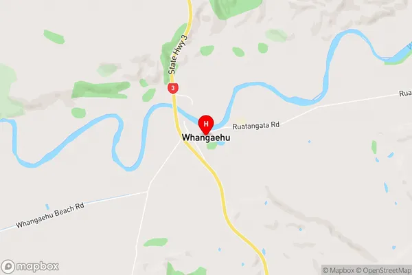
WhangaehuWhangaehu Area Map (Street)

Local Authority
Rangitikei District, Whanganui DistrictFull Address
Whangaehu, Rangitikei District, Whanganui District, New ZealandAddress Type
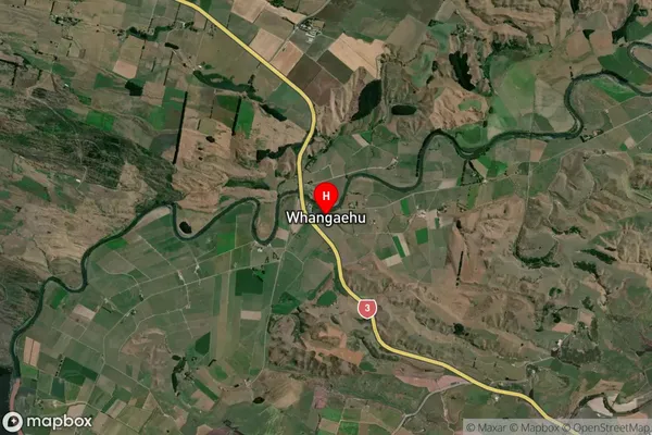
Locality in Town WhanganuiWhangaehu Suburb Map (Satellite)

Country
Main Region in AU
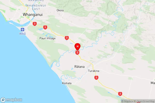
Manawatu-WanganuiWhangaehu Region Map

Coordinates
-40.0080917,175.1709509 (latitude/longitude)Distances
The distance from Whangaehu, Whanganui, Rangitikei District, Whanganui District to NZ Top 10 Cities