Kaitoke Suburbs & Region, Kaitoke Map & Postcodes in Kaitoke, Whanganui, Manawatu / Whanganui
Kaitoke Postcodes, Kaitoke ZipCodes, Kaitoke , Kaitoke Manawatu-Wanganui, Kaitoke Suburbs, Kaitoke Region, Kaitoke Map, Kaitoke Area
Kaitoke Region (Pakuratahi Region)
Kaitoke Suburbs
Kaitoke is a suburb place type in Whanganui, Manawatu / Whanganui, NZ. It contains 0 suburbs or localities.Kaitoke district
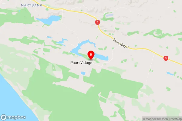
WhanganuiKaitoke Region Map
Kaitoke Introduction
Kaitoke is a small town located in the Manawatu-Wanganui region of New Zealand. It is situated on the banks of the Kaitoke River, approximately 50 kilometers north of Palmerston North. The town has a population of around 1,000 people and is known for its scenic surroundings, including the Kaitoke Gorge and the surrounding forest parks. Kaitoke is a popular destination for outdoor enthusiasts, with numerous hiking and cycling trails, and a range of recreational activities available in the surrounding area. The town also has a primary school, a post office, a supermarket, and a variety of small businesses and cafes.Kaitoke Region
Kaitoke City
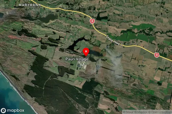
Kaitoke Satellite Map
Full Address
Kaitoke, Whanganui, Manawatu / WhanganuiKaitoke Coordinates
-39.980096,175.09669 (Latitude / Longitude)Kaitoke Map in NZ
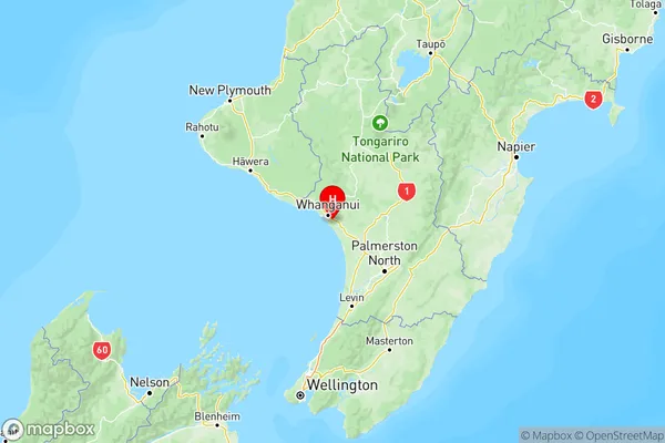
NZ Island
North IslandCountry
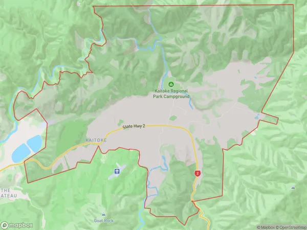
Kaitoke Area Map (Polygon)
Name
KaitokeAdditional Name
PakuratahiLocal Authority
Upper Hutt City
Kaitoke Suburbs (Sort by Population)
Kaitoke also known as Pakuratahi. Kaitoke suburb has around
38.3 square
kilometers.There are more than 414 people (estimated)
live in Kaitoke, Upper Hutt, Wellington, New Zealand.