Fordell Suburbs & Region, Fordell Map & Postcodes in Fordell, Whanganui, Manawatu / Whanganui
Fordell Postcodes, Fordell ZipCodes, Fordell , Fordell Manawatu-Wanganui, Fordell Suburbs, Fordell Region, Fordell Map, Fordell Area
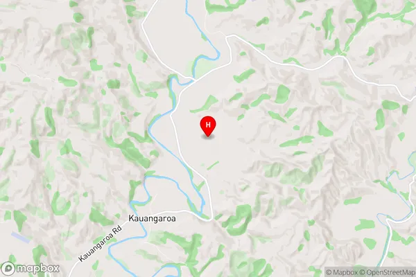
Fordell Region (Kauangaroa Region)
Fordell Suburbs
Fordell is a suburb place type in Whanganui, Manawatu / Whanganui, NZ. It contains 1 suburbs or localities.Fordell Postcodes
Fordell district
WhanganuiFordell Region Map
Fordell Introduction
Fordell is a small rural community located in the Manawatu-Wanganui region of New Zealand. It is situated on the banks of the Wanganui River, approximately 10 kilometers south of Palmerston North. The community has a population of around 100 people and is known for its scenic surroundings and peaceful atmosphere. Fordell has a primary school, a post office, and a small supermarket. The area is popular with outdoor enthusiasts, with many walking and cycling trails nearby. The community also hosts a annual music festival, which attracts musicians and music lovers from around the region.Fordell Region
Fordell City
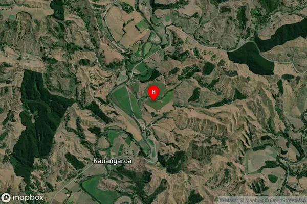
Fordell Satellite Map
Full Address
Fordell, Whanganui, Manawatu / WhanganuiFordell Coordinates
-39.910771,175.292967 (Latitude / Longitude)Fordell Map in NZ
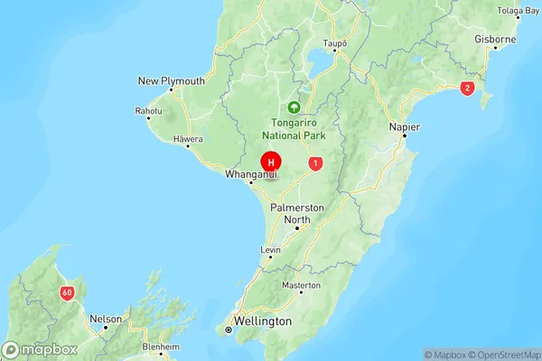
NZ Island
North IslandCountry
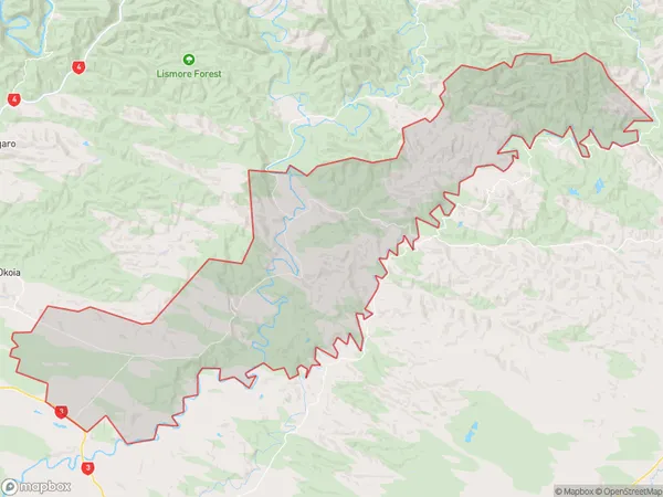
Fordell Area Map (Polygon)
Name
FordellAdditional Name
KauangaroaLocal Authority
Rangitikei District, Whanganui District
Fordell Suburbs (Sort by Population)
Fordell
Fordell - 607