Fordell Area, Fordell Postcode(4572) & Map in Fordell, Rangitikei District
Fordell Area, Fordell Postcode(4572) & Map in Fordell, Rangitikei District, Whanganui District, New Zealand
Fordell, Rangitikei District, Whanganui District, New Zealand
Fordell Postcodes
Fordell Area (estimated)
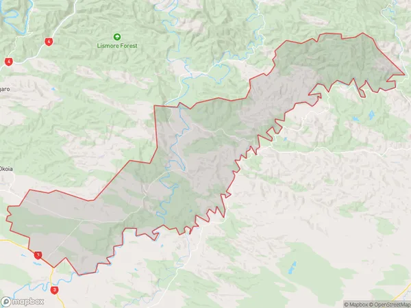
211.0 square kilometersFordell Population (estimated)
607 people live in Fordell, Manawatu-Wanganui, NZFordell Suburb Area Map (Polygon)
Fordell Introduction
Fordell is a small rural community in the Manawatu-Wanganui region of New Zealand. It is located on State Highway 3, approximately 10 kilometers south of Palmerston North. The area is known for its scenic countryside and peaceful atmosphere, making it a popular destination for those seeking a break from the city. Fordell has a primary school, a post office, and a small community hall. The local economy is primarily based on farming and forestry, with some tourism and retail businesses also present.Region
Major City
Suburb Name
FordellOther Name(s)
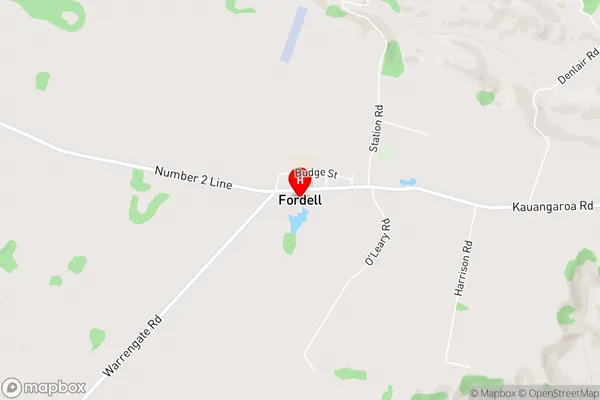
KauangaroaFordell Area Map (Street)
Local Authority
Rangitikei District, Whanganui DistrictFull Address
Fordell, Rangitikei District, Whanganui District, New ZealandAddress Type
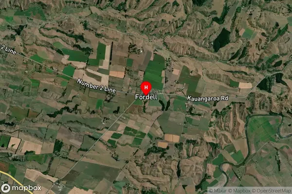
Locality in Major Locality FordellFordell Suburb Map (Satellite)
Country
Main Region in AU
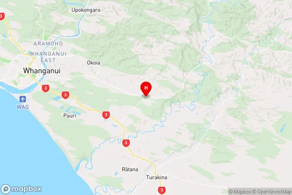
Manawatu-WanganuiFordell Region Map
Coordinates
-39.9614705,175.1988054 (latitude/longitude)Distances
The distance from Fordell, Fordell, Rangitikei District, Whanganui District to NZ Top 10 Cities