Durie Hill Suburbs & Region, Durie Hill Map & Postcodes in Durie Hill, Whanganui, Manawatu / Whanganui
Durie Hill Postcodes, Durie Hill ZipCodes, Durie Hill , Durie Hill Manawatu-Wanganui, Durie Hill Suburbs, Durie Hill Region, Durie Hill Map, Durie Hill Area
Durie Hill Region (Kowhai Park, Wanganui Central, Wanganui East Region)
Durie Hill Suburbs
Durie Hill is a suburb place type in Whanganui, Manawatu / Whanganui, NZ. It contains 0 suburbs or localities.Durie Hill Postcodes
Durie Hill district
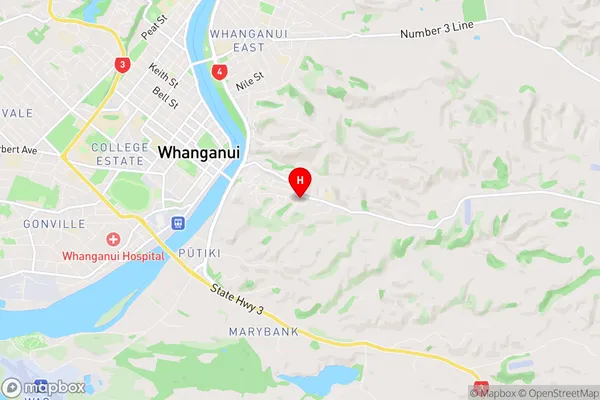
WhanganuiDurie Hill Region Map

Durie Hill Introduction
Durie Hill is a hill in the Manawatu-Wanganui region of New Zealand. It is known for its scenic views, walking tracks, and biodiversity. The hill is part of the Tararua Range and is a popular destination for outdoor enthusiasts and nature lovers. The summit of Durie Hill offers panoramic views of the surrounding countryside, including the Ruahine Range, the Manawatu Gorge, and the Horowhenua District. The hill is also home to a variety of plant and animal species, including native birds, reptiles, and insects. The walking tracks on Durie Hill range from easy to challenging, and there are also picnic areas and campgrounds available for visitors.Durie Hill Region
Durie Hill City
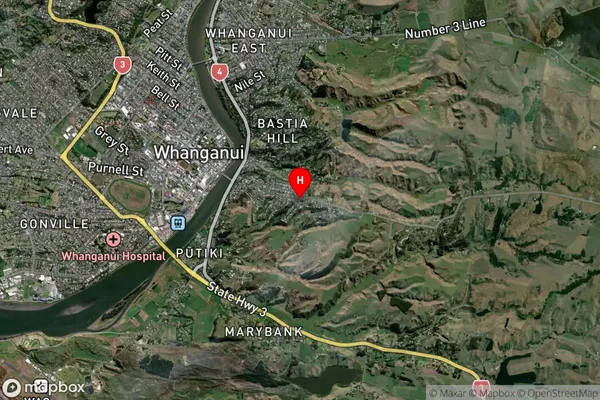
Durie Hill Satellite Map

Full Address
Durie Hill, Whanganui, Manawatu / WhanganuiDurie Hill Coordinates
-39.938749,175.069283 (Latitude / Longitude)Durie Hill Map in NZ

NZ Island
North IslandCountry
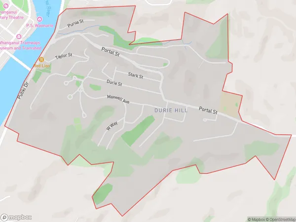
Durie Hill Area Map (Polygon)

Name
Durie HillAdditional Name
Kowhai Park, Wanganui Central, Wanganui EastLocal Authority
Whanganui District
Durie Hill Suburbs (Sort by Population)
Durie Hill also known as Kowhai Park, Wanganui Central, Wanganui East. Durie Hill suburb has around
2.0 square
kilometers.There are more than 1606 people (estimated)
live in Durie Hill, Whanganui, Manawatu-Wanganui, New Zealand.