Durie Hill Area, Durie Hill Postcode(4500) & Map in Durie Hill
Durie Hill Area, Durie Hill Postcode(4500) & Map in Durie Hill, Whanganui District, New Zealand
Durie Hill, Whanganui District, New Zealand
Durie Hill Postcodes
Durie Hill Area (estimated)
2.0 square kilometersDurie Hill Population (estimated)
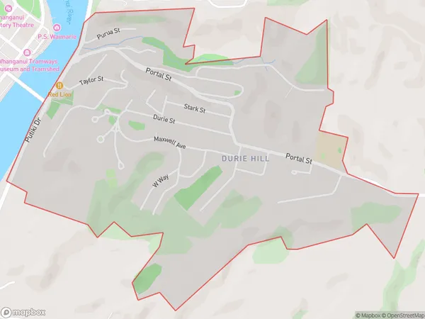
1606 people live in Durie Hill, Whanganui, NZDurie Hill Suburb Area Map (Polygon)
Durie Hill Introduction
Durie Hill is a historic hill fortification located in Whanganui, New Zealand. It was built by the Mori people in the 14th century and is considered one of the most important historical sites in the country. The hill is home to a variety of archaeological remains, including stone walls, terraces, and pit houses. It also offers stunning views of the city and the surrounding countryside.Region
Major City
Suburb Name
Durie HillOther Name(s)
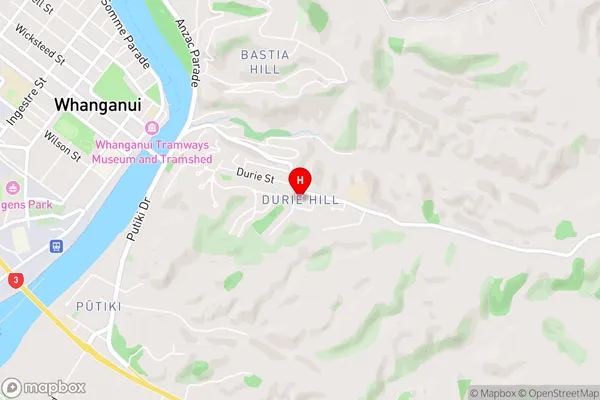
Kowhai Park, Wanganui Central, Wanganui EastDurie Hill Area Map (Street)
Local Authority
Whanganui DistrictFull Address
Durie Hill, Whanganui District, New ZealandAddress Type
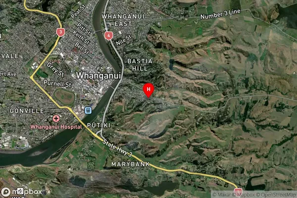
Suburb in Town WhanganuiDurie Hill Suburb Map (Satellite)
Country
Main Region in AU
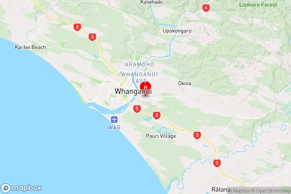
Manawatu-WanganuiDurie Hill Region Map
Coordinates
-39.9387491,175.0692835 (latitude/longitude)Distances
The distance from Durie Hill, Whanganui, Whanganui District to NZ Top 10 Cities