Kokopu Suburbs & Region, Kokopu Map & Postcodes in Kokopu, Whangarei, Northland
Kokopu Postcodes, Kokopu ZipCodes, Kokopu , Kokopu Northland, Kokopu Suburbs, Kokopu Region, Kokopu Map, Kokopu Area
Kokopu Region (Ruatangata Region)
Kokopu Suburbs
Kokopu is a suburb place type in Whangarei, Northland, NZ. It contains 0 suburbs or localities.Kokopu Region Map
Kokopu Introduction
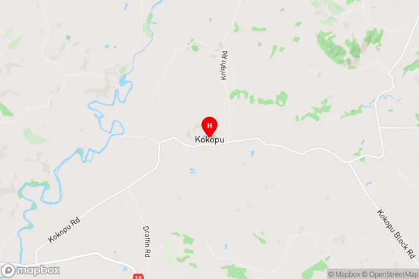
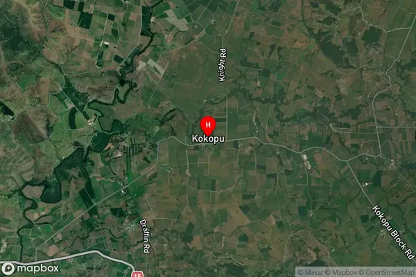
Kokopu is a small settlement in Northland, New Zealand. It is located on the banks of the Kokopu River, about 10 kilometers south of Whangarei. The settlement has a population of around 100 people and is known for its scenic surroundings and traditional Maori culture. The area is popular with tourists and outdoor enthusiasts, who enjoy activities such as fishing, hiking, and kayaking. The settlement also has a primary school and a small community hall.Kokopu Region
Kokopu City
Kokopu Satellite Map
Full Address
Kokopu, Whangarei, NorthlandKokopu Coordinates
-35.706105,174.140581 (Latitude / Longitude)Kokopu Map in NZ
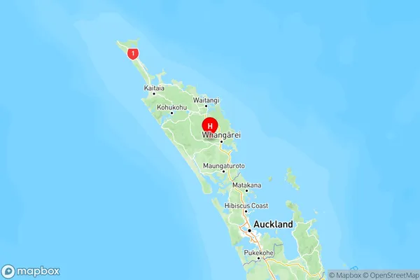
NZ Island
North IslandCountry
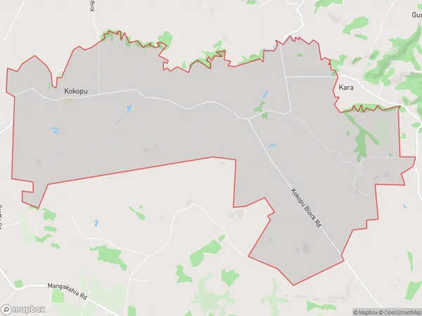
Kokopu Area Map (Polygon)
Name
KokopuAdditional Name
RuatangataLocal Authority
Whangarei District
Kokopu Suburbs (Sort by Population)
Kokopu also known as Ruatangata. Kokopu suburb has around
21.0 square
kilometers.There are more than 331 people (estimated)
live in Kokopu, Whangarei, Northland, New Zealand.