Aramoho Suburbs & Region, Aramoho Map & Postcodes in Aramoho, Whanganui, Manawatu / Whanganui
Aramoho Postcodes, Aramoho ZipCodes, Aramoho , Aramoho Manawatu-Wanganui, Aramoho Suburbs, Aramoho Region, Aramoho Map, Aramoho Area
Aramoho Region (Wanganui Central Region)
Aramoho Suburbs
Aramoho is a suburb place type in Whanganui, Manawatu / Whanganui, NZ. It contains 0 suburbs or localities.Aramoho Postcodes
Aramoho district
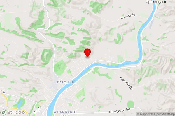
WhanganuiAramoho Region Map
Aramoho Introduction
Aramoho is a small town located in the Manawatu-Wanganui region of New Zealand. It is situated on the banks of the Aramoho River, approximately 100 kilometers northeast of Palmerston North. The town has a population of around 200 people and is known for its scenic surroundings, including the Aramoho Forest and the surrounding hills. The town has a primary school, a post office, and a small supermarket. The area is popular for outdoor activities such as hiking, fishing, and hunting, and the town is surrounded by farmland and rural landscapes.Aramoho Region
Aramoho City
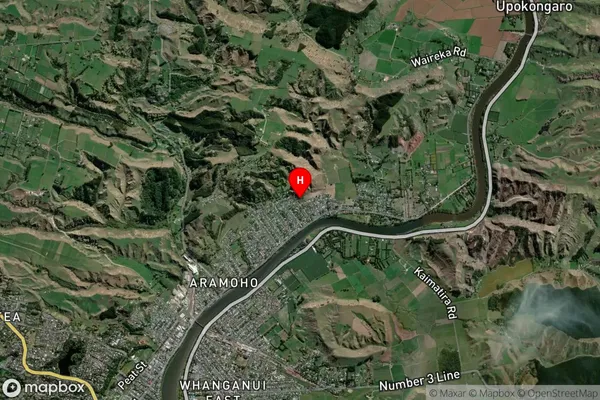
Aramoho Satellite Map
Full Address
Aramoho, Whanganui, Manawatu / WhanganuiAramoho Coordinates
-39.892388,175.073695 (Latitude / Longitude)Aramoho Map in NZ
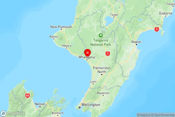
NZ Island
North IslandCountry
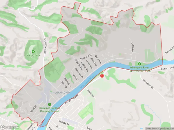
Aramoho Area Map (Polygon)
Name
AramohoAdditional Name
Wanganui CentralLocal Authority
Whanganui District
Aramoho Suburbs (Sort by Population)
Aramoho also known as Wanganui Central. Aramoho suburb has around
9.8 square
kilometers.There are more than 4578 people (estimated)
live in Aramoho, Whanganui, Manawatu-Wanganui, New Zealand.