Aramoho Area, Aramoho Postcode(4500) & Map in Aramoho
Aramoho Area, Aramoho Postcode(4500) & Map in Aramoho, Whanganui District, New Zealand
Aramoho, Whanganui District, New Zealand
Aramoho Postcodes
Aramoho Area (estimated)
9.8 square kilometersAramoho Population (estimated)
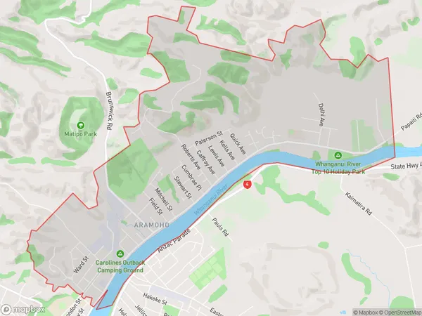
4578 people live in Aramoho, Whanganui, NZAramoho Suburb Area Map (Polygon)
Aramoho Introduction
Aramoho is a small rural town located in the Manawatu-Wanganui region of New Zealand. It is known for its beautiful natural surroundings, including the Aramoho Forest and the Aramoho River. The town has a population of around 1,000 people and is a popular destination for outdoor enthusiasts and nature lovers. It is also home to the Aramoho Cheese Factory, which produces a range of cheese products using milk from local farms.Region
Major City
Suburb Name
AramohoOther Name(s)
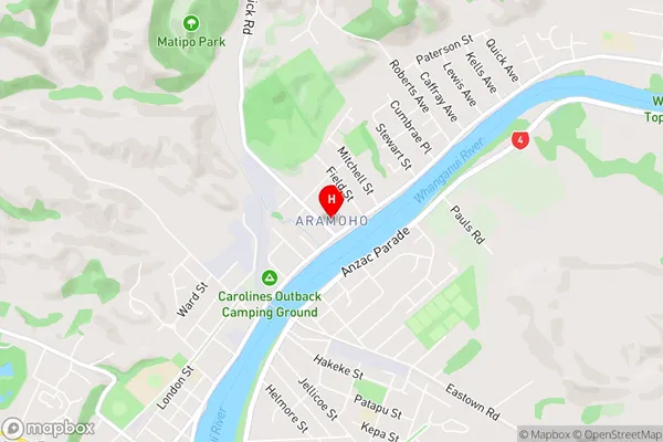
Wanganui CentralAramoho Area Map (Street)
Local Authority
Whanganui DistrictFull Address
Aramoho, Whanganui District, New ZealandAddress Type
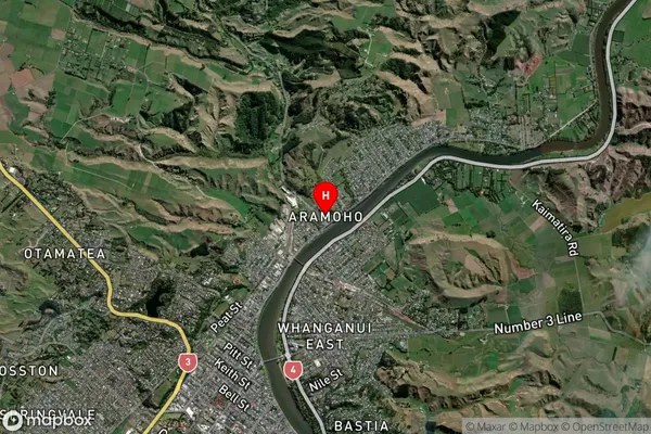
Suburb in Town WhanganuiAramoho Suburb Map (Satellite)
Country
Main Region in AU
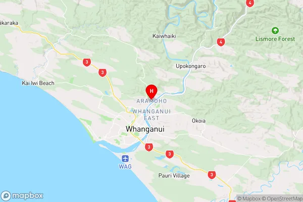
Manawatu-WanganuiAramoho Region Map
Coordinates
-39.903325,175.0605999 (latitude/longitude)Distances
The distance from Aramoho, Whanganui, Whanganui District to NZ Top 10 Cities