Alfredton Suburbs & Region, Alfredton Map & Postcodes in Alfredton, Tararua, Manawatu / Whanganui
Alfredton Postcodes, Alfredton ZipCodes, Alfredton , Alfredton Manawatu-Wanganui, Alfredton Suburbs, Alfredton Region, Alfredton Map, Alfredton Area
Alfredton Region (Castlehill, Pori Region)
Alfredton Suburbs
Alfredton is a suburb place type in Tararua, Manawatu / Whanganui, NZ. It contains 0 suburbs or localities.Alfredton district
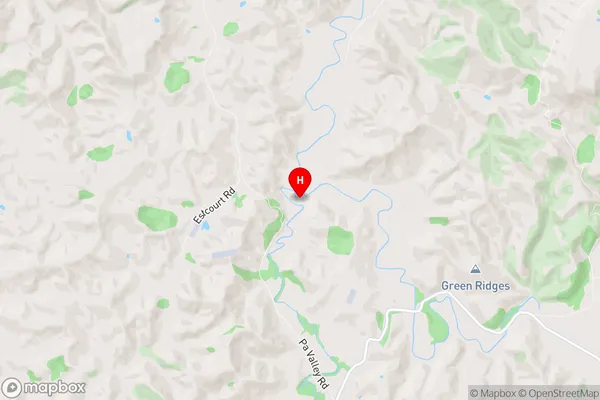
TararuaAlfredton Region Map
Alfredton Introduction
Alfredton is a small town in the Manawatu-Wanganui region of New Zealand. It is located on the banks of the Wanganui River, approximately 30 kilometers south of Palmerston North. The town has a population of around 1,200 people and is known for its historic buildings, including the Alfredton Hotel and the Old Church. The area is also popular for its farming and forestry industries, with many farms and plantations located in the surrounding area. Alfredton is a scenic town with a peaceful atmosphere, and it is a popular destination for tourists and locals alike.Alfredton Region
Alfredton City
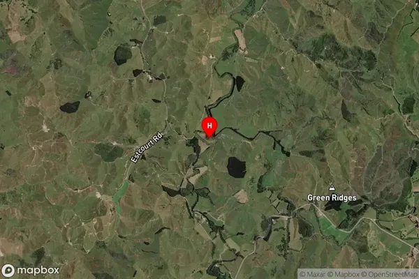
Alfredton Satellite Map
Full Address
Alfredton, Tararua, Manawatu / WhanganuiAlfredton Coordinates
-40.636631,175.870798 (Latitude / Longitude)Alfredton Map in NZ

NZ Island
North IslandCountry
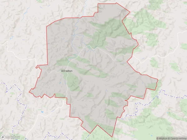
Alfredton Area Map (Polygon)
Name
AlfredtonAdditional Name
Castlehill, PoriLocal Authority
Tararua District
Alfredton Suburbs (Sort by Population)
Alfredton also known as Castlehill, Pori. Alfredton suburb has around
230.8 square
kilometers.There are more than 171 people (estimated)
live in Alfredton, Eketahuna, Manawatu-Wanganui, New Zealand.