Alfredton Area, Alfredton Postcode(4996) & Map in Alfredton
Alfredton Area, Alfredton Postcode(4996) & Map in Alfredton, Tararua District, New Zealand
Alfredton, Tararua District, New Zealand
Alfredton Postcodes
Alfredton Area (estimated)
230.8 square kilometersAlfredton Population (estimated)
171 people live in Alfredton, Manawatu-Wanganui, NZAlfredton Suburb Area Map (Polygon)
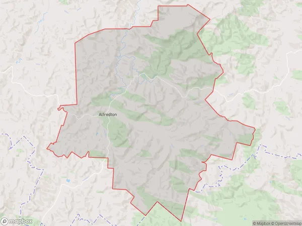
Alfredton Introduction
Alfredton is a small town in the Manawatu-Wanganui region of New Zealand. It is located on State Highway 3, approximately 30 kilometers north of Palmerston North. The town has a population of around 1,000 people and is known for its historic buildings and scenic surroundings. The area was first settled by Europeans in the 1840s, and the town was named after Alfredton, Devon, in England.Region
Major City
Suburb Name
AlfredtonOther Name(s)
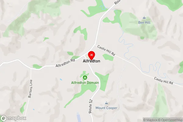
Castlehill, PoriAlfredton Area Map (Street)
Local Authority
Tararua DistrictFull Address
Alfredton, Tararua District, New ZealandAddress Type
Locality in Town EketahunaAlfredton Suburb Map (Satellite)

Country
Main Region in AU
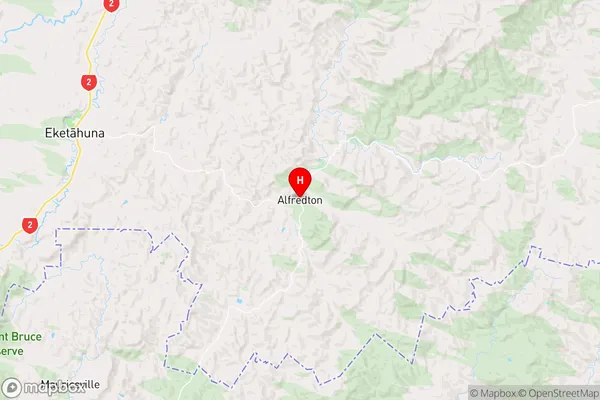
Manawatu-WanganuiAlfredton Region Map
Coordinates
-40.681601,175.8580511 (latitude/longitude)Distances
The distance from Alfredton, Eketahuna, Tararua District to NZ Top 10 Cities