Avenues Suburbs & Region, Avenues Map & Postcodes in Avenues, Whangarei, Northland
Avenues Postcodes, Avenues ZipCodes, Avenues , Avenues Northland, Avenues Suburbs, Avenues Region, Avenues Map, Avenues Area
Avenues Region (Whangarei Central Region)
Avenues Suburbs
Avenues is a suburb place type in Whangarei, Northland, NZ. It contains 0 suburbs or localities.Avenues Postcodes
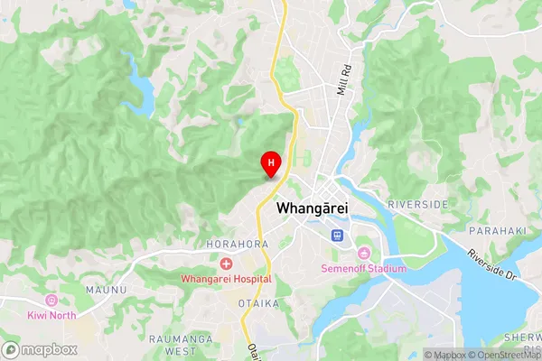
Avenues Region Map
Avenues Introduction
Avenues, Northland, New Zealand, is a small rural town located in the Northland region of New Zealand. It is situated on State Highway 12, approximately 12 kilometers south of Whangarei and 15 kilometers north of Kaikohe. The town is known for its scenic surroundings, including the nearby Kaikohe Ranges and the Kaikohe River. The population of Avenues is around 1,000 people, with a majority of the residents being of European descent. The town has a primary school, a post office, a supermarket, and a variety of small businesses and services. The town also hosts a number of events and festivals throughout the year, including the Kaikohe Agricultural Show and the Kaikohe Classic Car Show.Avenues Region
Avenues City
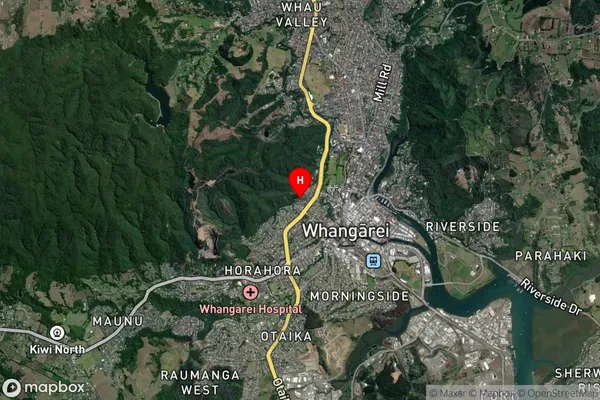
Avenues Satellite Map
Full Address
Avenues, Whangarei, NorthlandAvenues Coordinates
-35.723256,174.311568 (Latitude / Longitude)Avenues Map in NZ
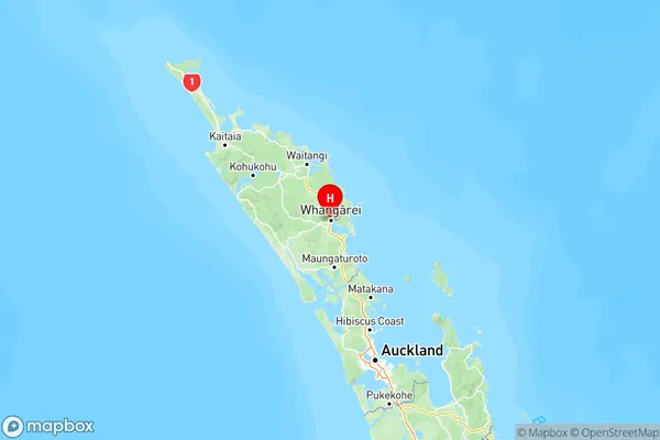
NZ Island
North IslandCountry
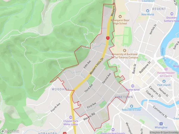
Avenues Area Map (Polygon)
Name
AvenuesAdditional Name
Whangarei CentralLocal Authority
Whangarei District
Avenues Suburbs (Sort by Population)
Avenues also known as Whangarei Central. Avenues suburb has around
1.1 square
kilometers.There are more than 2120 people (estimated)
live in Avenues, Whangarei, Northland, New Zealand.