Mount Somers Area, Mount Somers Postcode(7746) & Map in Mount Somers
Mount Somers Area, Mount Somers Postcode(7746) & Map in Mount Somers, Ashburton District, New Zealand
Mount Somers, Ashburton District, New Zealand
Mount Somers Postcodes
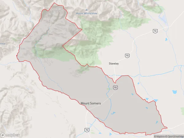
Mount Somers Area (estimated)
184.6 square kilometersMount Somers Population (estimated)
381 people live in Mount Somers, Canterbury, NZMount Somers Suburb Area Map (Polygon)
Mount Somers Introduction
Mount Somers is a large volcanic cone in the Canterbury region of New Zealand. It is the most active volcano in New Zealand and has a height of 2,797 meters. The cone was formed by three eruptions over the last 800,000 years and is part of the Southern Alps mountain range. Mount Somers is a popular destination for hikers and climbers and is known for its stunning views and challenging terrain.Region
Major City
Suburb Name
Mount SomersOther Name(s)
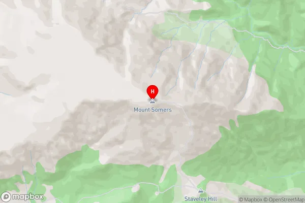
Buccleuch, Mt SomersMount Somers Area Map (Street)
Local Authority
Ashburton DistrictFull Address
Mount Somers, Ashburton District, New ZealandAddress Type
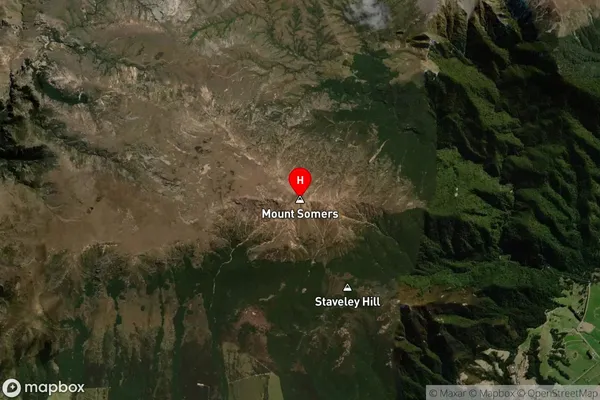
Locality in Major Locality Mount SomersMount Somers Suburb Map (Satellite)
Country
Main Region in AU
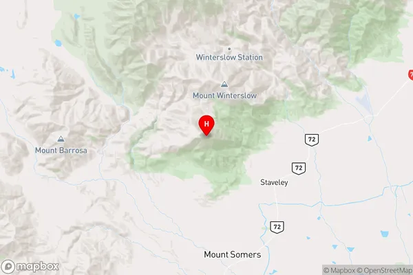
CanterburyMount Somers Region Map
Coordinates
-43.6195338,171.3751802 (latitude/longitude)Distances
The distance from Mount Somers, Mount Somers, Ashburton District to NZ Top 10 Cities