Motueka Valley Area, Motueka Valley Postcode & Map in Motueka Valley
Motueka Valley Area, Motueka Valley Postcode & Map in Motueka Valley, Tasman District,
Motueka Valley, Tasman District,
Motueka Valley Area (estimated)
122.0 square kilometersMotueka Valley Population (estimated)
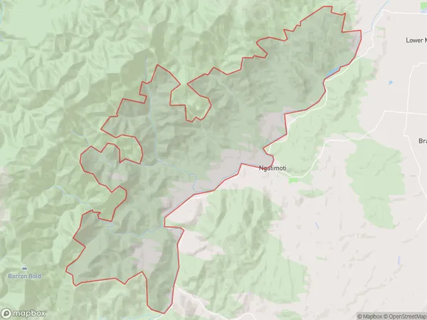
482 people live in Motueka Valley, Motueka, NZMotueka Valley Suburb Area Map (Polygon)
Motueka Valley Introduction
Motueka Valley is a picturesque rural area located in the Tasman region of New Zealand, known for its lush green forests, crystal-clear rivers, and stunning mountain views. It is a popular destination for outdoor enthusiasts, with numerous hiking trails, cycling routes, and fishing spots. The valley is also home to a variety of agricultural businesses, including apple orchards, cheese factories, and lavender farms.Region
Major City
Suburb Name
Motueka ValleyMotueka Valley Area Map (Street)
Local Authority
Tasman DistrictFull Address
Motueka Valley, Tasman District,Address Type
Locality in Town MotuekaMotueka Valley Suburb Map (Satellite)
Country
Main Region in AU
TasmanMotueka Valley Region Map
Coordinates
0,0 (latitude/longitude)Distances
The distance from Motueka Valley, Motueka, Tasman District to NZ Top 10 Cities