Montalto Area, Montalto Postcode & Map in Montalto
Montalto Area, Montalto Postcode & Map in Montalto, Ashburton District, New Zealand
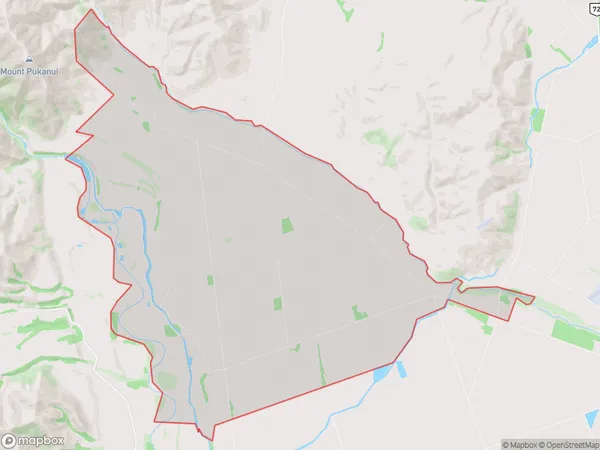
Montalto, Ashburton District, New Zealand
Montalto Area (estimated)
60.6 square kilometersMontalto Population (estimated)
102 people live in Montalto, Canterbury, NZMontalto Suburb Area Map (Polygon)
Montalto Introduction
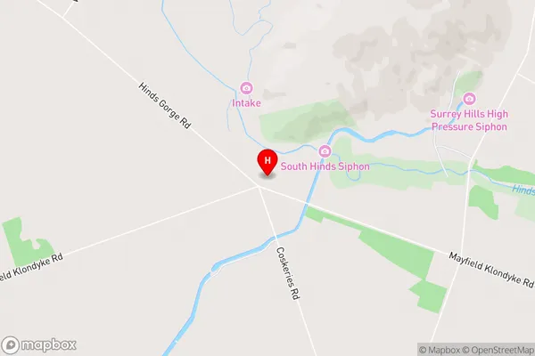
Montalto is a rural community in Mount Somers, Canterbury, New Zealand. It is located on State Highway 73, 12 km southeast of Mount Somers and 15 km northwest of Ashburton. The area was first settled in the 1860s by German settlers, and the first school was built in 1874. The community has a post office, a hotel, and a variety of businesses and services. Montalto is known for its scenic views and outdoor activities, including hiking, cycling, and fishing.Region
Major City
Suburb Name
MontaltoMontalto Area Map (Street)
Local Authority
Ashburton DistrictFull Address
Montalto, Ashburton District, New ZealandAddress Type
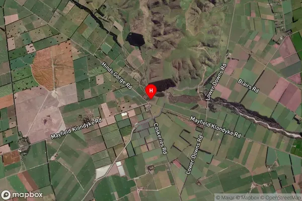
Locality in Major Locality Mount SomersMontalto Suburb Map (Satellite)
Country
Main Region in AU
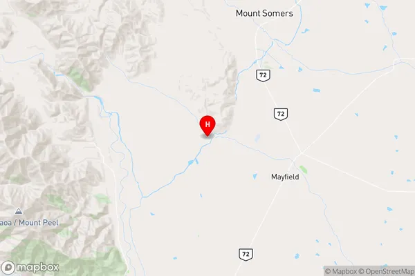
CanterburyMontalto Region Map
Coordinates
-43.7937732,171.344533 (latitude/longitude)Distances
The distance from Montalto, Mount Somers, Ashburton District to NZ Top 10 Cities