Mokotua Area, Mokotua Postcode & Map in Mokotua
Mokotua Area, Mokotua Postcode & Map in Mokotua, Southland District, New Zealand
Mokotua, Southland District, New Zealand
Mokotua Area (estimated)
36.6 square kilometersMokotua Population (estimated)
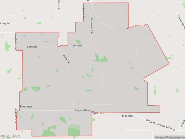
106 people live in Mokotua, Waihopai Toetoe Community, NZMokotua Suburb Area Map (Polygon)
Mokotua Introduction
Mokotua is a small coastal town in Southland, New Zealand, located on the southern shore of Lake Wakatipu. It is known for its scenic views, outdoor activities, and friendly community. The town has a population of around 2,000 people and is surrounded by stunning natural landscapes, including mountains, forests, and beaches. Mokotua is a popular destination for tourists and locals alike, with many attractions and activities to enjoy, such as hiking, fishing, skiing, and kayaking.Region
Major City
Suburb Name
MokotuaOther Name(s)
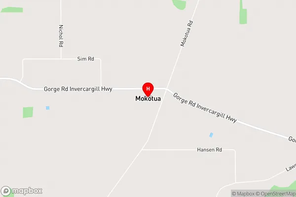
TimpanysMokotua Area Map (Street)
Local Authority
Southland DistrictFull Address
Mokotua, Southland District, New ZealandAddress Type
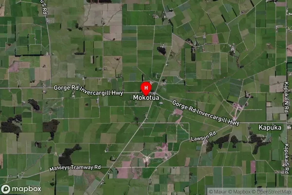
Locality in City InvercargillMokotua Suburb Map (Satellite)
Country
Main Region in AU
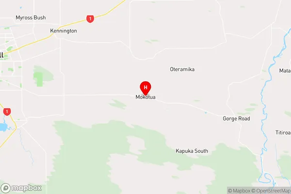
SouthlandMokotua Region Map
Coordinates
-46.4527608,168.5742402 (latitude/longitude)Distances
The distance from Mokotua, Invercargill, Southland District to NZ Top 10 Cities