Moeraki Area, Moeraki Postcode(9482) & Map in Moeraki
Moeraki Area, Moeraki Postcode(9482) & Map in Moeraki, Waitaki District, New Zealand
Moeraki, Waitaki District, New Zealand
Moeraki Postcodes
Moeraki Area (estimated)
10.6 square kilometersMoeraki Population (estimated)
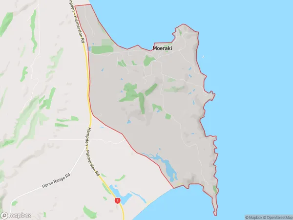
120 people live in Moeraki, Otago, NZMoeraki Suburb Area Map (Polygon)
Moeraki Introduction
Moeraki Boulders is a beachside village in Otago, New Zealand, known for its large spherical boulders, which have formed due to coastal erosion. The boulders, which range in size from small to large, are a popular tourist attraction and have become a symbol of the region. The village also offers scenic views, a peaceful atmosphere, and a range of accommodation options, including hotels, motels, and holiday homes.Region
Major City
Suburb Name
MoerakiOther Name(s)
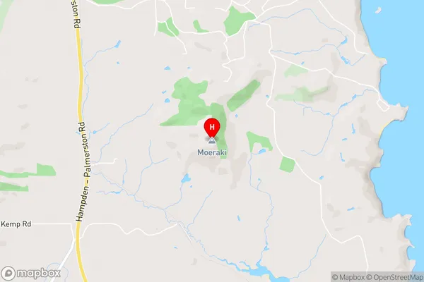
KaikaMoeraki Area Map (Street)
Local Authority
Waitaki DistrictFull Address
Moeraki, Waitaki District, New ZealandAddress Type
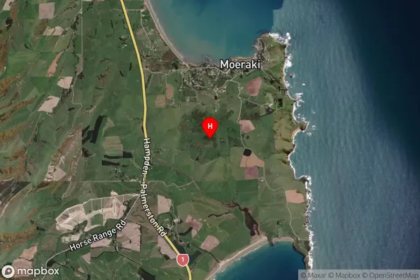
Locality in Major Locality MoerakiMoeraki Suburb Map (Satellite)
Country
Main Region in AU
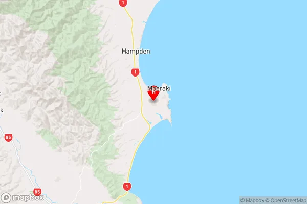
OtagoMoeraki Region Map
Coordinates
-45.3740025,170.844139 (latitude/longitude)Distances
The distance from Moeraki, Moeraki, Waitaki District to NZ Top 10 Cities