Methven Area, Methven Postcode(7730) & Map in Methven
Methven Area, Methven Postcode(7730) & Map in Methven, Ashburton District, New Zealand
Methven, Ashburton District, New Zealand
Methven Area (estimated)
217.2 square kilometersMethven Population (estimated)
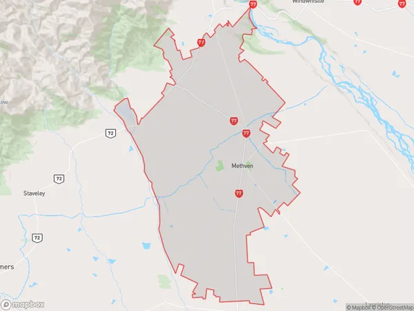
2614 people live in Methven, Canterbury, NZMethven Suburb Area Map (Polygon)
Methven Introduction
Methven is a small town in Canterbury, New Zealand, known for its hot springs and skiing. It is located in the Mount Methven Scenic Reserve, and the area offers a range of outdoor activities such as hiking, mountain biking, and skiing. The town also has a historic hotel and a number of restaurants and cafes.Region
Major City
Suburb Name
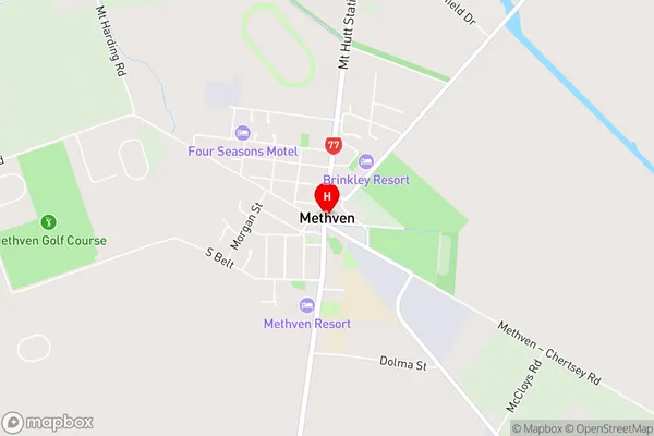
MethvenMethven Area Map (Street)
Local Authority
Ashburton DistrictFull Address
Methven, Ashburton District, New ZealandAddress Type
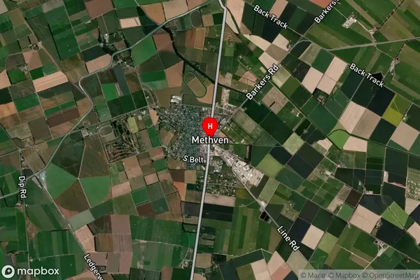
Suburb in Town MethvenMethven Suburb Map (Satellite)
Country
Main Region in AU
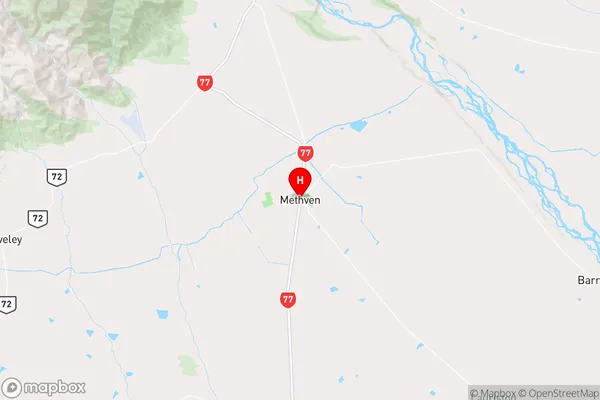
CanterburyMethven Region Map
Coordinates
-43.6324332,171.6472608 (latitude/longitude)Distances
The distance from Methven, Methven, Ashburton District to NZ Top 10 Cities