Maunu Area, Maunu Postcode(0179) & Map in Maunu
Maunu Area, Maunu Postcode(0179) & Map in Maunu, Whangarei District, New Zealand
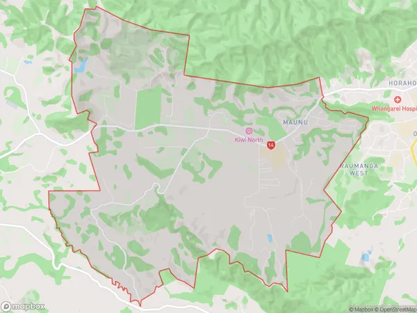
Maunu, Whangarei District, New Zealand
Maunu Postcodes
Maunu Area (estimated)
27.2 square kilometersMaunu Population (estimated)
3845 people live in Maunu, Whangārei, NZMaunu Suburb Area Map (Polygon)
Maunu Introduction
Maunu is a small town in Northland, New Zealand, located on the banks of the Maunu River. It is known for its scenic beauty, with lush forests, waterfalls, and a peaceful atmosphere. The town has a population of around 1,000 people and is a popular destination for tourists and outdoor enthusiasts. Maunu also has a primary school, a post office, and a small supermarket.Region
Major City
Suburb Name
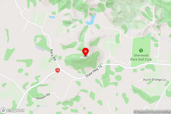
MaunuMaunu Area Map (Street)
Local Authority
Whangarei DistrictFull Address
Maunu, Whangarei District, New ZealandAddress Type
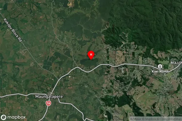
Suburb in City WhangareiMaunu Suburb Map (Satellite)
Country
Main Region in AU
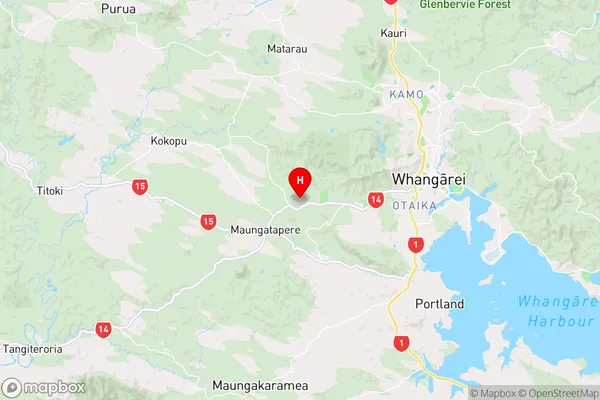
NorthlandMaunu Region Map
Coordinates
-35.739056,174.230778 (latitude/longitude)Distances
The distance from Maunu, Whangarei, Whangarei District to NZ Top 10 Cities