Ligar Bay Area, Ligar Bay Postcode(7183) & Map in Ligar Bay
Ligar Bay Area, Ligar Bay Postcode(7183) & Map in Ligar Bay, Tasman District, New Zealand
Ligar Bay, Tasman District, New Zealand
Ligar Bay Postcodes
Ligar Bay Area (estimated)
4.1 square kilometersLigar Bay Population (estimated)
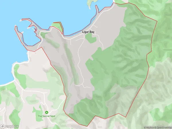
66 people live in Ligar Bay, Tasman, NZLigar Bay Suburb Area Map (Polygon)
Ligar Bay Introduction
Ligar Bay is a picturesque beach located in Takaka, Tasman, New Zealand. It is known for its golden sand, clear waters, and stunning coastal views. The bay is a popular spot for swimming, kayaking, and fishing, and it is surrounded by native forests and mountains. Ligar Bay is also home to a small community of residents who enjoy the peaceful and relaxed lifestyle of the area.Region
Major City
Suburb Name
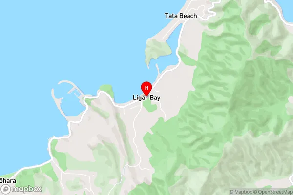
Ligar BayLigar Bay Area Map (Street)
Local Authority
Tasman DistrictFull Address
Ligar Bay, Tasman District, New ZealandAddress Type
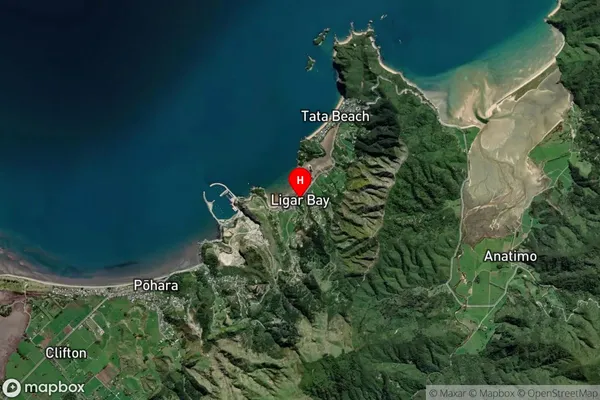
Locality in Town TakakaLigar Bay Suburb Map (Satellite)
Country
Main Region in AU
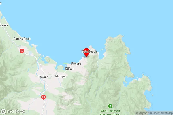
TasmanLigar Bay Region Map
Coordinates
-40.8222996,172.9094837 (latitude/longitude)Distances
The distance from Ligar Bay, Takaka, Tasman District to NZ Top 10 Cities