Bruce Bay Area, Bruce Bay Postcode(7886) & Map in Bruce Bay
Bruce Bay Area, Bruce Bay Postcode(7886) & Map in Bruce Bay, Westland District, New Zealand
Bruce Bay, Westland District, New Zealand
Bruce Bay Postcodes
Bruce Bay Area (estimated)
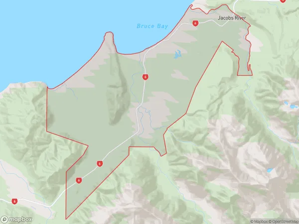
138.9 square kilometersBruce Bay Population (estimated)
41 people live in Bruce Bay, West Coast, NZBruce Bay Suburb Area Map (Polygon)
Bruce Bay Introduction
Bruce Bay is a small settlement on the west coast of New Zealand's South Island. It is located in the Haast region, known for its stunning natural beauty, including glaciers, rainforests, and waterfalls. The bay is a popular spot for hiking, fishing, and wildlife viewing, with several trails and tracks leading into the surrounding countryside. The area is also home to a small community of people who rely on the fishing and tourism industries for their livelihood.Region
Major City
Suburb Name
Bruce BayOther Name(s)
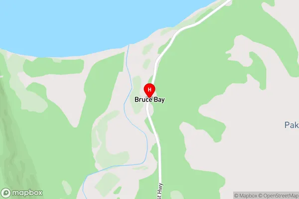
Jacobs River, MahitahiBruce Bay Area Map (Street)
Local Authority
Westland DistrictFull Address
Bruce Bay, Westland District, New ZealandAddress Type
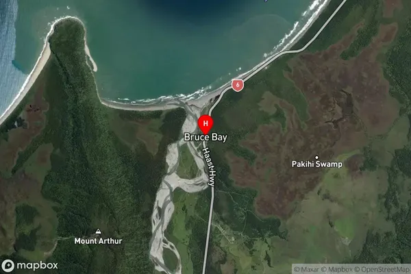
Locality in Major Locality HaastBruce Bay Suburb Map (Satellite)
Country
Main Region in AU
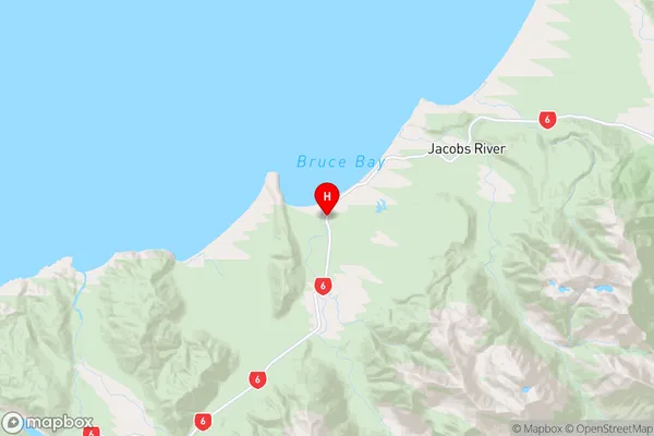
West CoastBruce Bay Region Map
Coordinates
-43.6077583,169.5896055 (latitude/longitude)Distances
The distance from Bruce Bay, Haast, Westland District to NZ Top 10 Cities