Landsborough Valley Area, Landsborough Valley Postcode & Map in Landsborough Valley
Landsborough Valley Area, Landsborough Valley Postcode & Map in Landsborough Valley, Westland District,
Landsborough Valley, Westland District,
Landsborough Valley Area (estimated)
679.2 square kilometersLandsborough Valley Population (estimated)
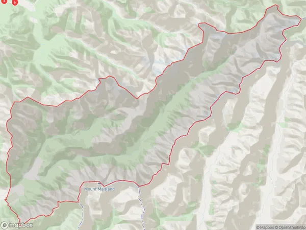
2 people live in Landsborough Valley, Whataroa, NZLandsborough Valley Suburb Area Map (Polygon)
Landsborough Valley Introduction
Landsborough Valley is a picturesque and historic area located in Haast, West Coast, New Zealand. It is known for its stunning natural beauty, including lush forests, waterfalls, and rivers. The valley was first settled by European settlers in the 1860s and has since become a popular tourist destination. It is home to a variety of wildlife, including kea, tui, and the rare Hector's dolphin. The area also has a rich history, with several historic buildings and sites, including the Landsborough Castle ruins.Region
Major City
Suburb Name
Landsborough ValleyLandsborough Valley Area Map (Street)
Local Authority
Westland DistrictFull Address
Landsborough Valley, Westland District,Address Type
Locality in Major Locality HaastLandsborough Valley Suburb Map (Satellite)
Country
Main Region in AU
West CoastLandsborough Valley Region Map
Coordinates
0,0 (latitude/longitude)Distances
The distance from Landsborough Valley, Haast, Westland District to NZ Top 10 Cities