Ruatangata West Area, Ruatangata West Postcode(0185) & Map in Ruatangata West
Ruatangata West Area, Ruatangata West Postcode(0185) & Map in Ruatangata West, Whangarei District, New Zealand
Ruatangata West, Whangarei District, New Zealand
Ruatangata West Postcodes
Ruatangata West Area (estimated)
119.7 square kilometersRuatangata West Population (estimated)
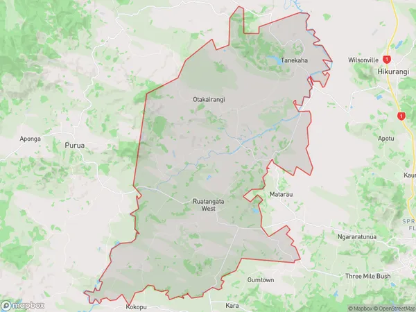
1389 people live in Ruatangata West, Northland, NZRuatangata West Suburb Area Map (Polygon)
Ruatangata West Introduction
Ruatangata West is a small rural community in Northland, New Zealand. It is located on State Highway 12, approximately 20 kilometers west of Whangarei. The community has a population of around 100 people and is known for its scenic views and peaceful atmosphere. Ruatangata West is surrounded by farmland and has a variety of recreational facilities, including a golf course and a community hall. The area is also home to several historic buildings, including the Ruatangata West School, which was built in 1886.Region
Major City
Suburb Name
Ruatangata WestOther Name(s)
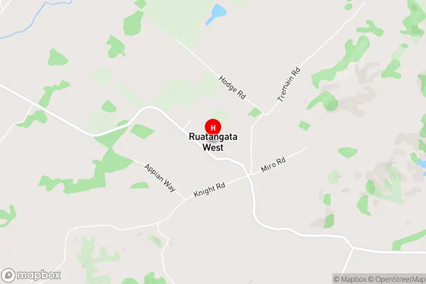
Otakairangi, TanekahaRuatangata West Area Map (Street)
Local Authority
Whangarei DistrictFull Address
Ruatangata West, Whangarei District, New ZealandAddress Type
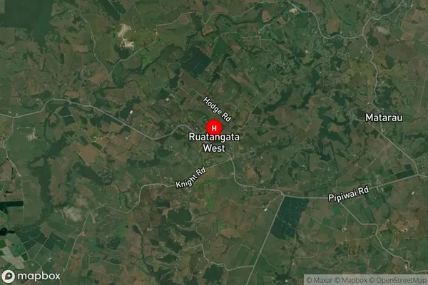
Locality in City WhangareiRuatangata West Suburb Map (Satellite)
Country
Main Region in AU
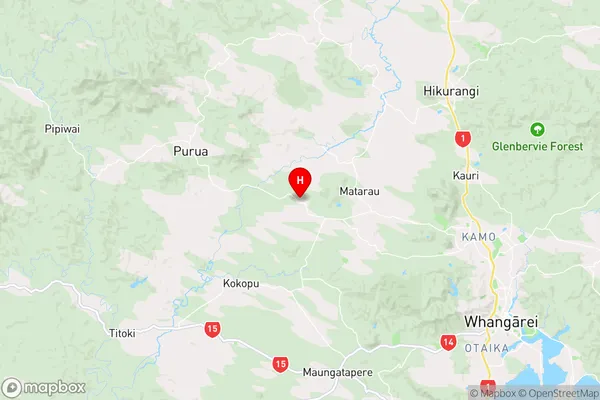
NorthlandRuatangata West Region Map
Coordinates
-35.6596039,174.1811273 (latitude/longitude)Distances
The distance from Ruatangata West, Whangarei, Whangarei District to NZ Top 10 Cities